
Tag "GIS mapping"

Uttar Pradesh Goes for GIS Mapping of Minor Irrigation Constructions
According to recent news by ToI, the Minister for Minor irrigation, Groundwater, Animal husbandry and Panchayati Raj Mr. Raj Kishore Singh of Uttar Pradesh has directed that GIS mapping of construction

City of Hudson Goes for GIS mapping of Utilities
According to recent news, City of Hudson will spend an estimated $222,000 to create the digital mapping for its storm sewer, sanitary sewer and water utilities. The City Council on
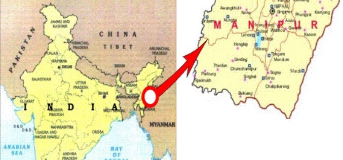
Manipur Has Launched ‘Make In Manipur’ and GIS Mapping for Sericulture Activities
Imphal – Manipur government has launched ‘Make in Manipur’ and GIS mapping for sericulture activities in the region. The move aimed to woo investors and generate employment in the state. Manipur
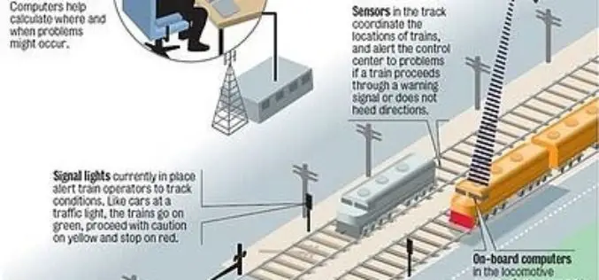
Indian Railways to Tie Up With ISRO for Enhanced Safety Using GPS Aided System (GAGAN)
Indian Railways will join hands with ISRO to get online satellite images for improving safety and enhancing efficiency. “We will undertake a massive exercise of GIS mapping of the entire

DoT : GIS Mapping of Telecom Towers
According to recent news by Economic Times, Department of Telecommunications (DoT), Government of India, has asked the telecom service operators in the country to put 584,000 telecom towers on Geographic Information

ThinkGeo Releases Map Suite for Android, iOS and WebAPI
Frisco, TX — ThinkGeo is proud to announce the additions of Map Suite WebAPI , Map Suite for Android and iOS platforms to the Map Suite family of products. These
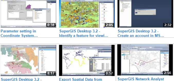
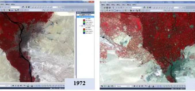
Get the Hang of latest SuperGIS Desktop 3.2
Supergeo Technologies Inc., the global leading GIS software and solution provider, released new Product Demo Videos on Supergeo TV Channel to demonstrate most frequently-used functions in latest SuperGIS
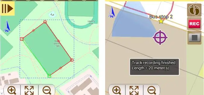
Latest SuperSurv 3.2 Boosts Convenience of Geospatial Data Collection
Developed by Supergeo, the latest version of SuperSurv (iOS/Android) 3.2 is upgraded with more global coordinates systems functions to bring users a more convenient and intuitive manipulation. SuperSurv, the mobile
Supergeo Releases SuperGIS Spatial Analyst 3.2
Supergeo Technologies, the global leading GIS software and solution provider, releases the latest SuperGIS Spatial Analyst 3.2 for worldwide SuperGIS Desktop 3.2 users to experience more advanced spatial analysis functions.

EoI Mapping and GIS
Pimpri Chinchwad Municipal Corp Pune, Maharashtra , India Pimpri Chinchwad Municipal Corp invites Tender for Expression of Interest (EoI) for Mapping and GIS Tenderer should be reputable and capable technical integrator
