
Tag "GIS data"

Rural Connectivity GIS Data is Now Available in the Public Domain
Shri Giriraj Singh, the Union Minister for Rural Development and Panchayati Raj, Government of India, has made the Rural Connectivity GIS Data available to the public. This comprises GIS data
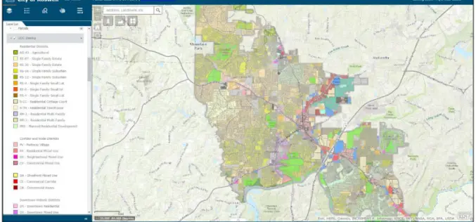
City of Roswell: A Case Study – Creating and Maintaining a GIS Enterprise
Introduction The bustling City of Roswellhas seen its population increase substantially over the course of the last twenty years, becoming the eighth largest city in the State of Georgia. Although
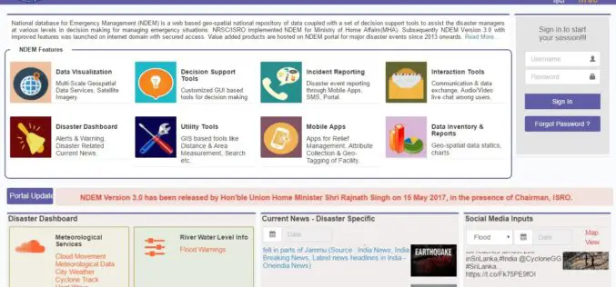
ISRO Released National Database for Emergency Management (NDEM) Version 3.0 Released
The National Database for Emergency Management (NDEM) Version 1.0 was operationalised in 2013. Subsequently, NDEM Version 2.0 was launched in 2015 with improved features like multi-scale databases, decision-support tools and

Avenza MAPublisher Now Features ArcGIS Online Integration within Adobe Illustrator
Connect to ArcGIS Online within Adobe Illustrator to import and work with data layers Toronto, ON, January 4, 2017 – Avenza Systems Inc., producers of the Avenza Maps app for
Boundless Introduces Open GIS Platform for the Enterprise
Boundless, a leader in open GIS, introduced an open GIS ecosystem to unlock the business intelligence of location-based data. In response to market demand for more open and scalable GIS
Mississippi State University Released a New Web Application “GeoDawg” – Bringing Power of GIS to the Public
STARKVILLE, Miss.— The Geosystems Research Institute (GRI) at Mississippi State University has released a new web application, “GeoDawg,” that gives Mississippians the ability to easily use the capabilities of a
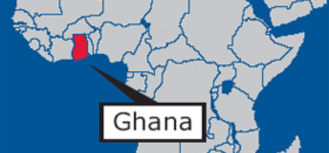
GIS Data Hub Established in Cape Coast: Ghana
According to the recent news reported by the Ghana Business News, a Geographic Information System (GIS) Data Hub has been created for the Department of Town and Country Planning in Cape

Global GIS Analytics Market to Grow at a CAGR of 18.25% During 2016-2020
According to a report published by the Research and Markets, the global GIS analytics market to grow at a CAGR of 18.25% during the period 2016-2020. The report, Global Geographic Information System

CartoDB Webinar: Get started using CartoDB’s Mobile SDK
Webinar: Get started using CartoDB’s Mobile SDK Wednesday, June 29 @1PM EDT (10AM PST / 7PM CEST) Join this 45-minute session to learn how CartoDB’s Mobile SDK expands your data
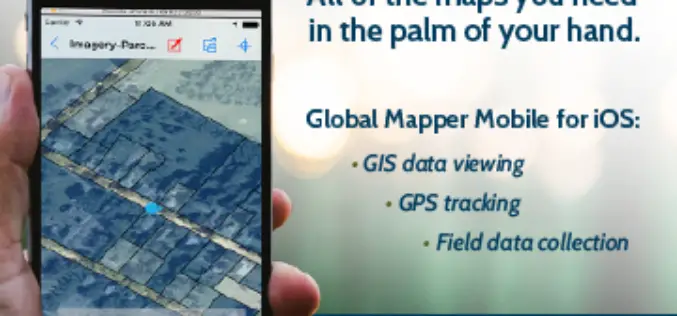
Global Mapper Mobile is Now Available for iOS
Blue Marble Geographics are pleased to announce the immediate availability of Global Mapper Mobile for iOS, a field-optimized version of the desktop software. Global Mapper Mobile offers powerful GIS data
