
Tag "geospatial"
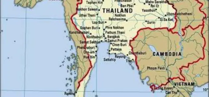
Airbus to Provide an End-to-end Geo-Information System to Thailand
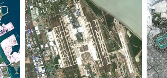
Earth observation satellites, capacity building, integrated geo-information platform to support the Kingdom of Thailand’s key development priorities The Geo-Informatics and Space Technology Development Agency of Thailand (GISTDA) has selected Airbus
LANDSUPPORT Project Determines The Impact of Land Use
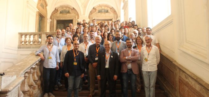
The EU funded LANDSUPPORT project officially launched on May 1st. The project partners, an international and complementary group of research centres, SMEs and policy makers, aim to develop an integrated
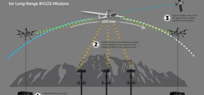
Kongsberg Geospatial Airspace Awareness Software to be used by 3 of the 4 Teams Selected by Transport Canada for BVLOS Flight Trials in Canada
Ottawa, CA, June 12, 2018 – Kongsberg Geospatial Ltd., an Ottawa-based geospatial and Air Traffic Management visualisation software company announced today that its IRIS technology will be used by three

Eli Tamanaha Joins PrecisionHawk as Vice President of Strategic Initiatives
Seasoned Entrepreneur and Digital Technologist Will Accelerate Growth of PrecisionHawk’s Drone Pilot Network, Droners.io. PrecisionHawk Inc., – a leading provider of enterprise drone technology– today announced that Eli Tamanaha, co-founder

OGC Announces Creation of Regional Canada Forum on Geospatial Standards
Members of the Canadian geomatics community have chartered the ‘Canada Forum on Geospatial Standards’ as a venue for collaboration on geospatial standardisation activities May 31, 2018 – The Open Geospatial Consortium

Kongsberg Geospatial Announces Official Release of TerraLens 9 Geospatial SDK
Ottawa, CA, May 19, 2018 – Kongsberg Geospatial Ltd., an Ottawa-based developer of geospatial visualisation software, announced today the official release of TerraLens 9.0, the latest version of their real-time, high

Belarus, Russia, Kazakhstan to Make Space Satellites Together
MOSCOW, 25 May (BelTA) – Belarus, Russia, and Kazakhstan have come to terms on manufacturing cooperation for making satellites for the remote sensing of Earth. The decision was made at
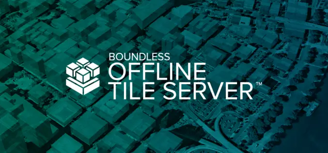
Boundless Introduces New Lightweight, Portable, Offline Basemap Server
With Boundless Offline Tile Server, Users Can Access and Provide Street-Level Maps Anywhere in the World St. Louis, MO – May 22, 2018 – Boundless, the leader in open and scalable

OGC Seeks Public Comment on New Interoperable Simulation and Gaming Domain Working Group
New OGC Working Group has the goal of evaluating how standards will enable the modeling, simulation, and gaming communities to mutually benefit from ongoing technological developments. May 7, 2018 – The
East View Geospatial Now Offering PlanetSAT 10-meter Global Mosaic
MINNEAPOLIS, Minnesota, USA – April 23, 2018 – East View Geospatial (EVG) is excited to announce the availability of PlanetSAT Global #2018, the most up-to-date global imagery basemap. Produced by EVG
