
Tag "GeoNews"
Maharashtra Adopted Geospatial Technology to Digitize and Decentralise MGNREGA Works
According to recent news by the DNA, the Maharashtra State Government gearing up to implement the geographic information system (GIS) to digitize and decentralize the planning, monitoring, and implementation of the
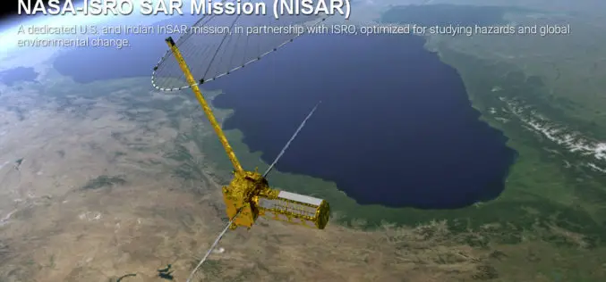
Opportunity for Young Scientist to be a Part of NASA-ISRO Synthetic Aperture Radar (NISAR) Data Program
AHMEDABAD: Here is a chance for young scientific researchers and data crunchers to be part of Isro’s ambitious NASA-ISRO Synthetic Aperture Radar (NISAR) satellite data analysis program. This will be

Boost Fieldwork Productivity with Latest SuperSurv 3.3
Supergeo Technologies Inc. has recently improved and released the latest version of SuperSurv, the leading mobile GIS software. Developed and maintained by the product team for years, SuperSurv is one

Trimble Changes Name to Reflect Company’s Technology Evolution
Completes Delaware Reincorporation SUNNYVALE, Calif., Oct. 3, 2016 Trimble (NASDAQ: TRMB) announced today that is has formally changed its company name from Trimble Navigation Limited to Trimble Inc. In addition,

Esri Becomes Ambassador of NOAA and NWS Weather-Ready Nation
GIS Role in NOAA Weather Data Portal Key to Designation Redlands, California—Esri, the world leader in geographic information system (GIS) technology, today (September 27, 2016) announced its participation in the

Chandigarh Begins UAV Based Aerial Survey of Properties
According to the recent news by The Indian Express, Chandigarh has become the first city in the country to conduct an aerial survey of properties using drones. The Chandigarh administration

Tanzanian City Deploys GIS to Raise Revenue Collection
According to recent news by the All Africa, Dar es Salaam Municipal Council, Tanzania is expecting to collect 60bn/- per year up from 6.0bn/- after improvement on the geographic information system (GIS). The
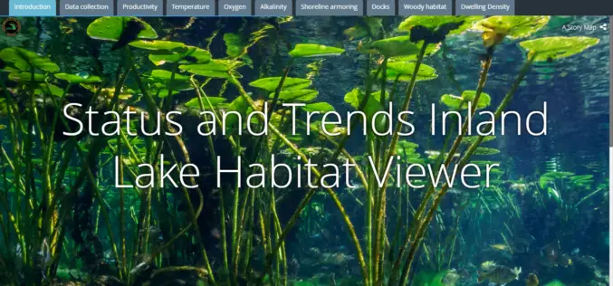
Michigan Department of Natural Resources Launches New Web-based Mapping Tool
The Michigan Department of Natural Resources has recently launched a new web-based mapping tool – the Inland Lake Habitat Viewer – to provide the public with information about the state’s inland lakes.
What Transforms the Digital City into the Smart City?
Public participation makes the digital city truly smart Hamburg, Darmstadt 16 September 2016 | Involving the public is transforming the digital city into the smart city of the future. With
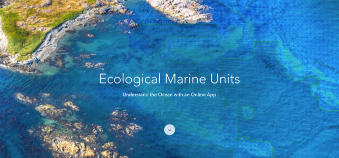
Esri Releases EMUs to Understand the Ocean
GIS Enables a New Way to Measure Marine Environments Redlands, California—Esri, the world leader in smart mapping technology, announced a whole new way of measuring the ocean on September 15,
