
Tag "GeoEye"
Remote Sensing
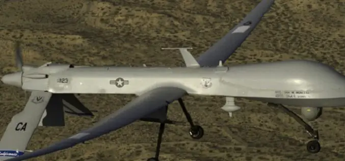
Drone Bombings in the Federally Administered Tribal Areas: Public Remote Sensing Applications for Security Monitoring
Drone bombing, as a US defense strategy in Pakistan, began under the George W. Bush administration as part of the “US War on Terrorism” and aimed to defeat Taliban and

Remote Sensing
DigitalGlobe Announces Availability of 30 cm Satellite Imagery to All Customers
Higher Resolution Satellite Imagery Now a Highly Competitive Alternative to Aerial Imagery for Global Applications LONGMONT, Colo.–(BUSINESS WIRE)–Feb. 25, 2015– DigitalGlobe, Inc. (NYSE: DGI), a leading global provider of high-resolution earth

