
Tag "geo-spatial and temporal approach"
Remote Sensing
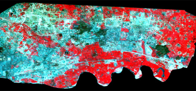
Spatiotemporal Analysis of Noida Using Remote Sensing and GIS Approaches
Spatiotemporal analysis refers to an analysis having both spatial extension and temporal duration. Remote sensing has provided a great tool to quantify changes using satellite data in our area of interest. Population
