
Tag "Flood Map"
GIS
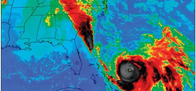
New Maps of 2015 Floods Help S. Carolina Plan for the Future
The U.S. Geological Survey has created 20 new flood inundation maps that can help South Carolinians take steps to prevent or reduce future flood damage in the areas affected by
GIS
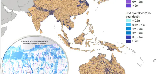
Asian Cities May See Increases in Flood Risk By 2020
Some rapidly growing Asian cities may see increases of up to 36% in the population at risk of extreme river and surface water flooding by 2020, according to recent study
