
Tag "ESRi"
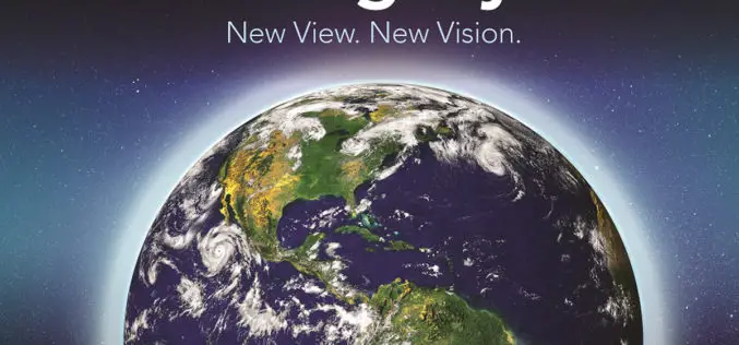
See Where Imagery and GIS Go Next in The ArcGIS Imagery Book: New View. New Vision.
Learn to Work with Imagery in Esri ArcGIS Using the Book and Companion Website Redlands, California—Getting a more intelligent picture of our planet just got easier thanks to an explosion
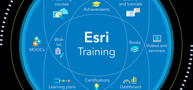
Esri Offers Free Self-Paced E-Learning to Customers through New Training Site
Self-Paced E-Learning for ArcGIS Now Available June 27, 2016, Redlands, California—Esri will give all customers that have a qualifying product with a current maintenance subscription unlimited access to free self-paced e-Learning
Esri’s Federal Small Business Program Grows at Rapid Pace
Over 50 Small Business Partners Become Members of Specialty Redlands, California—Since the inception of the Esri Federal Small Business Specialty in February, Esri has garnered participation from over 50 industry
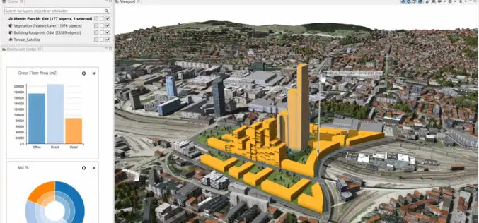
Build Smart 3D Cities in Minutes with Game-Changing Esri CityEngine 2016
Redlands, California—Esri, the global leader in geographic information system (GIS) solutions, today announced the release of Esri CityEngine 2016. This revolutionary modeling technology allows GIS professionals, 3D artists, architects, and
What’s New in ArcGIS Online June Release
The June update of ArcGIS Online features improvements to item pages, updated content, and more options for administrators. Improved Item Pages Check out the redesign. It includes better work flows,
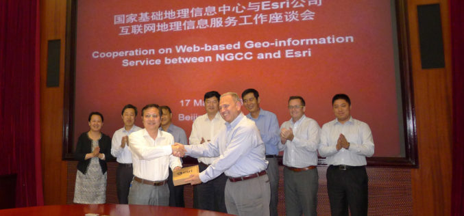
NGCC and Esri Provide Access to Authoritative Chinese Cartographic Maps and Imagery
Redlands, California—The world’s leading mapping platform company, Esri, and the National Geomatics Center of China (NGCC) held a signing ceremony in Beijing, China with respect to providing access to NGCC’s

Esri and Hexagon Promote Their Joint Collaboration at HxGN LIVE
Redlands, California—June 14, 2016—In 2015, Esri and Hexagon jointly announced a series of ready-to-use imagery services to Esri users through the ArcGIS Market Place. The ArcGIS Market Place delivers high-resolution
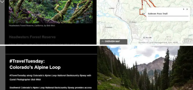
The Bureau of Land Management Uses Esri Story Maps to Encourage Public Land Exploration
Engaging the Public through the Travelogues of Wilderness Specialist Bob Wick Redlands, California—The Bureau of Land Management (BLM) now uses Esri Story Maps to encourage exploration of the United States’
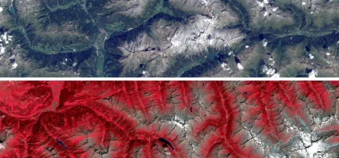
Sentinel Imagery Now Works Inside ArcGIS
Redlands, California—Esri enhanced its ArcGIS technology to simplify the use of free global imagery from the Sentinel-2 satellite launched by the European Space Agency. ArcGIS supports visualization, interpretation, and analysis

Esri Webinar: Effective Vector-Borne Disease Surveillance and Control
Esri Webinar: Effective Vector-Borne Disease Surveillance and Control Thu, May 26, 2016 11:30 PM – Fri, May 27, 2016 12:30 AM IST Show in My Time Zone Understanding the complete

