
Tag "ESA"

IEEE International Conference on Wireless for Space and Extreme Environments 2014
2014 IEEE International Conference on Wireless for Space and Extreme Environments European Space Agency, ESTEC, Noordwijk, The Netherlands, October 30 – 31, 2014 In cooperation with CSA, ESA, NASA WiSEE 2014
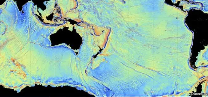
CryoSAT Unveils Secrets of the Deep
ESA’s ice mission has been used to create a new gravity map, exposing thousands of previously unchartered ‘seamounts’, ridges and deep ocean structures. This vivid new picture of the least-explored
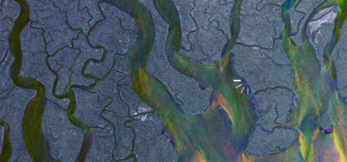
Earth from Space: Adeus, Amazon Rainforest Deforestation
24 years of Amazon Rainforest deforestation in the Brazilian state of Rondônia are shown in a simulated animation. Source: ESA
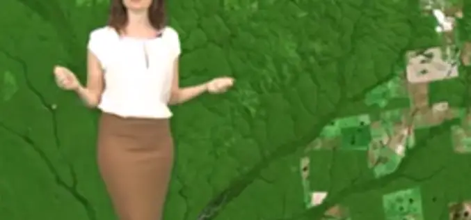
Earth from Space: Cradle of Humankind
Earth from Space is presented by Kelsea Brennan-Wessels from the ESA Web-TV virtual studios. In the eleventh edition we explore a region widely considered to be where early Homo-sapiens emerged
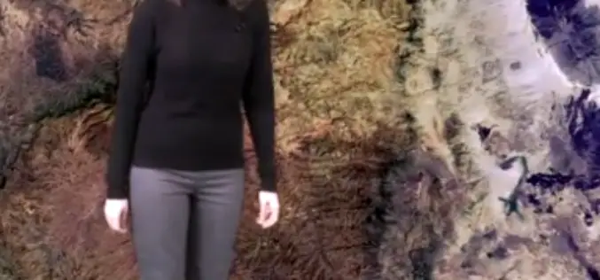
Where Is It?
This video features some spectacular imagery from Earth-observing satellites. From this perspective, even some of the most familiar places can be difficult to recognise. Can you place these images on
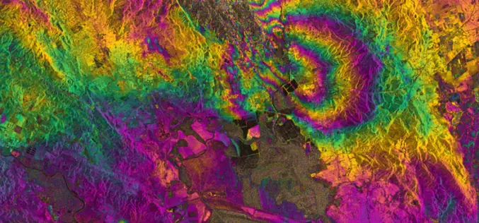
RADAR Vision Maps Napa Valley Earthquakes
Sentinel-1A has added yet another string to its bow. Radar images from this fledgling satellite have been used to map the rupture caused by the biggest earthquake that has shaken

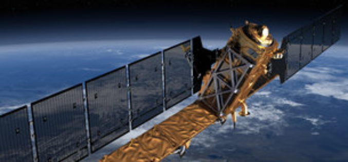
Europe Lofts First Copernicus Environmental Satellite
3 April 2014-The ability of European citizens, policymakers and service providers to access key environmental data on a routine basis will take a major step forward following the launch today
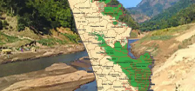
Callous Approach of KSREC in Mapping Ecologically Sensitive Areas
In recent news, the maps prepared by the Kerala State Remote Sensing and Environment Centre (KSREC) of Ecologically Sensitive Areas (ESAs) in the state, have major discrepancies including showcasing of
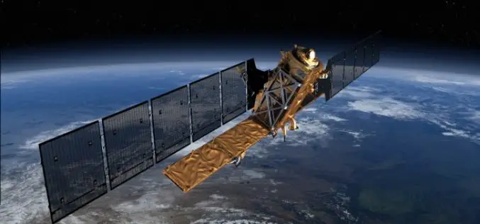
Sentinel Data Free and Open for Pre-registration
In anticipation of the launch for Sentinel-1A, the European Space Agency is pleased to announce the possibility for users to pre-register for online access to Sentinel data. The free, full
EU’s first Sentinel Earth Observation satellite to launch in April
A date has been announced for the roll-out of the European Union’s multi-billion-euro Earth observation project, Copernicus. Copernicus will fly a constellation of satellites known as the Sentinels to take
