
Tag "Egypt"

GIS
Egypt to Map Archaeological Sites
A map of all of Egypt’s archaeological sites and museums has been created and will be launched for the first time on sites around the country The Geographic Information System

Remote Sensing
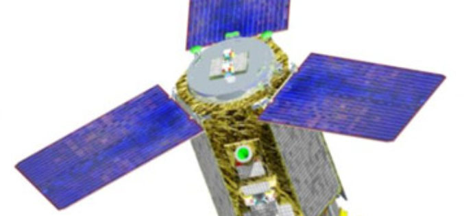
Egypt: Russia to Launch EgyptSat-2 Remote Sensing Satellite
According to The Cairo Post, Egypt and Russia will sign a contract in late 2015 to establish a new Egyptian satellite for remote sensing, Vladimir Solntsev, head of Korolev Rocket
Remote Sensing
Egypt is Considering Purchasing of Russian Satellite Imagery
In recent news by Sputnik, Egypt is considering purchasing Russian satellite images for earth observation studies. This move comes after the loss of control by Egypt on its remote sensing
