
Tag "Earth Observation"
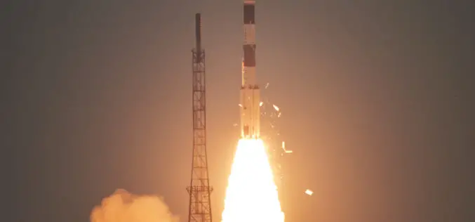
ISRO Successfully Launches Cartosat-3 and 13 Commercial Nanosatellites
November 27, 2019 – ISRO – India’s Polar Satellite Launch Vehicle, in its forty-ninth flight (PSLV-C47), successfully launched Cartosat-3 along with 13 Nanosatellites of USA from Satish Dhawan Space Centre
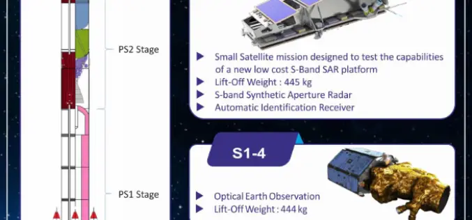
Indian Space Research Organisation (ISRO) Successfully Launches NovaSAR and S1-4 Satellite
Sriharikota, Andhra Pradesh, India – Sep 16, 2018 – The Polar Satellite Launch Vehicle (PSLV-C42) of Indian Space Research Organisation (ISRO) today (16 Sept 2018, Sunday) successfully launched two satellites — NovaSAR
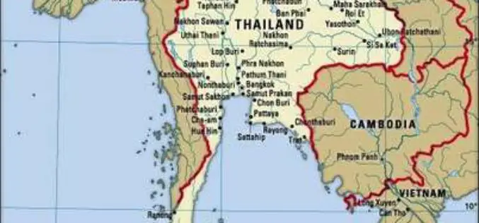
Airbus to Provide an End-to-end Geo-Information System to Thailand
Earth observation satellites, capacity building, integrated geo-information platform to support the Kingdom of Thailand’s key development priorities The Geo-Informatics and Space Technology Development Agency of Thailand (GISTDA) has selected Airbus
Esri Announces Release of Sentinel-2 Image Services
Redlands, California, May 29, 2018—Esri, the global leader in spatial analytics, today announced that it is releasing Sentinel-2 Image Services to all Esri users for no additional cost. Sentinel-2 is
OGC Seeks Public Comment on New Earth Observation Exploitation Platform Domain Working Group
New OGC Working Group has the goal of defining a standards-based framework for cloud-based access to and analysis of EO data. May 9, 2018 – The Open Geospatial Consortium (OGC) seeks
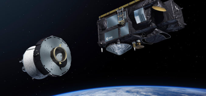
Sentinel-3B, 7th Satellite of the Copernicus Programme Launched Successfully
On 25 April 2018 at 19:57 CEST, the Earth observation satellite Sentinel-3B lifted off on a Rockot launcher from the Russian cosmodrome in Plesetsk With Sentinel-3B, the seventh satellite of
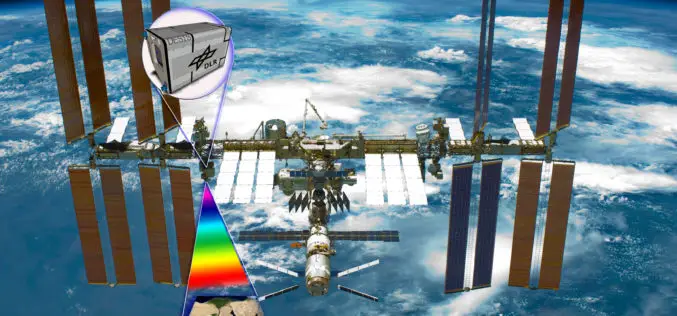
Hyperspectral Instrument DESIS En Route to International Space Station in 2018
The DLR Earth Sensing Imaging Spectrometer (DESIS) environment and resource monitoring system will launch to the ISS in the summer of 2018 The hyperspectral sensor system has a spatial resolution

Copernicus Satellite Data for Cultural Heritage Monitoring and Preservation
The free and open data and information delivered by the Copernicus programme represents a valuable resource for Cultural Heritage monitoring and preservation at European and global level. The data and
4th Farming by Satellite Prize Competition is Open!
Registration for the 4th Farming by Satellite Prize was officially opened at the conference “Agriculture: a new frontier for the European space policy” in the European Parliament on March 6.
Big Earth Datacube Analytics Made Easy
BigDataCube project started to develop flexible and scalable services for massive spatio-temporal Earth Observation data. Project coordinator, Jacobs University Bremen, invited the joint research consortium, consisting of rasdaman GmbH (Bremen),
