
Tag "Drought Monitoring"
GIS Resources Magazine (Issue 3 | September 2019): The Role of Geospatial Technologies in Drought Monitoring and Mitigation
GIS Resources Magazine (Issue 3 | September 2019) – The Role of Geospatial Technologies in Drought Monitoring & Mitigation GIS Resources is pleased to announce the release of its 3rd edition (September 2019) of the print and digital magazine. The
Drought Information and Management System
At a time when rains and floods continue to batter several parts of the country, it would seem misplaced to bring out an issue on Drought monitoring and
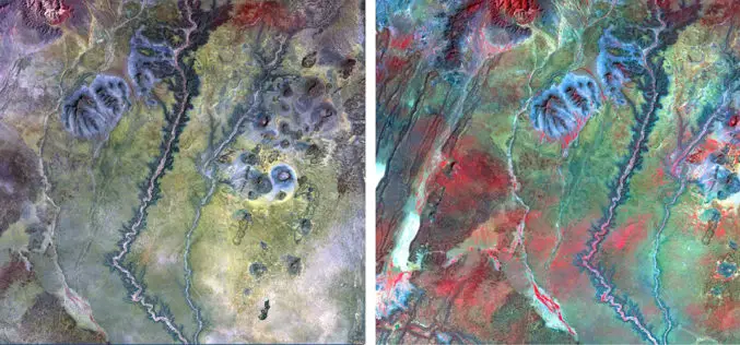
NAU Scientist Uses Remote Sensing to Detect Groundwater in Drought-stricken East Africa
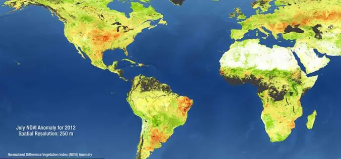
Drought is a condition when a region notes a deficiency in its water supply whether surface or underground water. A drought can last for months or years, or may be declared

Satellites Support Crop Yield Estimations in Turkey
Multi-temporal SPOT 6 and SPOT 7 images combined with in-situ measurements deliver crop monitoring and crop production estimates Airbus Defence and Space delivers SPOT 6 and SPOT 7 satellite data
