
Tag "drones"
Drones in Agriculture and Hands-On Drone-to-GIS Workflows
Hands-On Drone-to-GIS Workflows Sponsored by the Michigan State University Institute of Agricultural Technology, in coordination with RS&GIS and Northwest Michigan College. This unique and comprehensive, instructor-led training course is taught

Drones Soon to Check Illegal Mining
Chennai – According to recent news reported by The New India Express, Madras High Court has directed the State government and the Union Ministry of Mines to take a decision
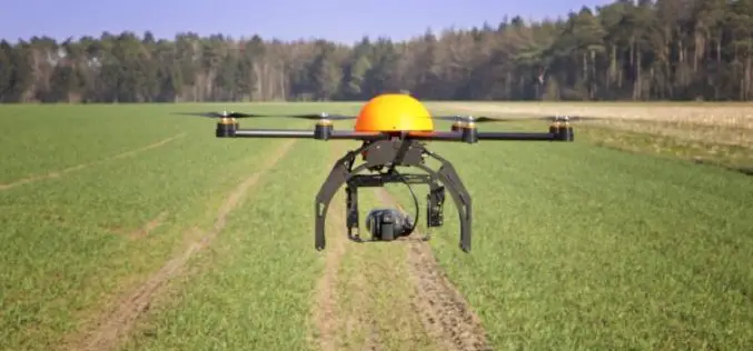
5 Drones for Precision Agriculture on Geo-matching.com
Drones (also known as Unmanned Aerial Vehicles) are used for various applications such as surveying, surveillance and habitat mapping. An interesting new application is precision agriculture. Drones can be used
uAvionix Partners With PrecisionHawk To Add On-Board Ads-B To LATAS Enabled Drones
Palo Alto, CA – November 16, 2016 – uAvionix and PrecisionHawk today announced a plan to jointly develop the next generation of LATAS hardware. The integration of the uAvionix Ping ADS-B

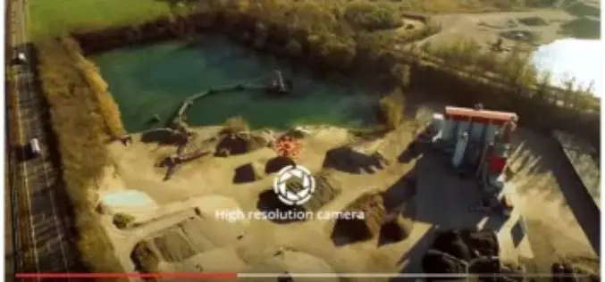
Introducing TerraSmart’s New Fleet of High Precision Aerial Site Mapping Drones
High-Precision Aerial Site Mapping Drones Streamlines Site Topography for Faster and More Profitable Solar TerraSmart proves once more that autonomous technology brings increased precision, speed and cost-savings to the

Archaeologists Use Drones to Build 3D Virtual-Reality Map
Archaeologists at The Australian National University (ANU) and Monash University are conducting a trial of new technology to build a 3D virtual-reality map of one of Asia’s most mysterious sites
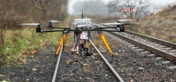
Union Railway Ministry Using Drones to Monitor Rail Project in Mumbai
According to recent news by the Hindustan Times, The Union railway ministry has been using drones to take updates on the developments of Seawoods-Nerul-Uran railway project. Drones are mainly being used

Drones to Monitor Indian Railways Projects
PTI- NEW DELHI: Stepping up the monitoring mechanism, railways has opted for the state of the art surveillance devices such as drone and geo-based spatial based satellite technology to monitor
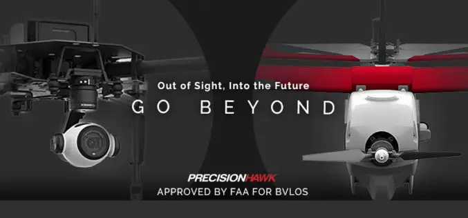
FAA Grants PrecisionHawk First Waiver to Fly Drones beyond Line Of Sight
Since receiving an experimental airworthiness certificate from the FAA to research operations within extended visual line of sight, PrecisionHawk has proven a safety case to advance its research to include
Govt. to Use Drones Based Technologies in Farming Sector
During the Monsoon session of Indian Parliament, the Minister of State in the Ministry of Agriculture and Farmers Welfare, Shri Sudarshan Bhagat had informed the house that soon drone or
