
Tag "DOST"

LiDAR
Aerial LiDAR Survey to Produce 3D Flood and Hazard Maps for River System in Philippines
Catandunganon, Philippines – Recently a team from the Department of Science and Technology (DOST) and the University of the Philippines Training Center for Applied Geodesy and Photogrammetry (UP TCAGP) has conducted
LiDAR
Philippines Uses LiDAR for Flood Hazard Mapping
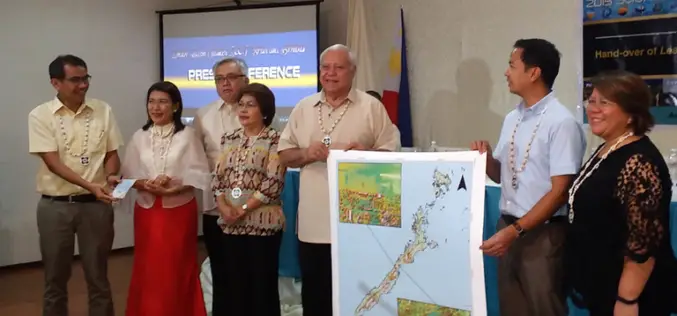
Palawan is one of the many provinces of the Philippines that benefited from the flood hazard mapping project. The project was initiative of Department of Science and Technology’s (DOST). Recently

GIS
DOST-UP’s Plane to Fly in ARMM to Chart Hazard Map
Manila, April 29 — The Department of Science and Technology (DOST) will fly a plane over the Autonomous Region of Muslim Mindanao in August to survey the region for hazard preparedness. The
