
Tag "Chandigarh"
Central Government Directs Chandigarh to Complete Aerial Mapping Project Within 1 Year
According to recent news by The Indian Express, The Union government on has directed the Chandigarh administration to complete the project of digitization of land records in the city within the
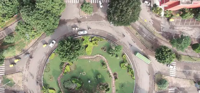
Chandigarh Begins UAV Based Aerial Survey of Properties
According to the recent news by The Indian Express, Chandigarh has become the first city in the country to conduct an aerial survey of properties using drones. The Chandigarh administration

Chandigarh to Launch Web GIS Service for Distributing Properties
According to recent news by The Indian Express, the Chandigarh Administration is all set to launch a web GIS service enabling families to distribute their properties online. The move is
Chandigarh Administration to Prepare GIS-based Master Plan for Land Development
According to recent news by The Tribune, the Department of Urban Planning of the Chandigarh Administration planning to prepare the city’s master plan using the geographical information system (GIS). The
