
Tag "bathymetry"
Joint Scientific Article on LiDAR for Bathymetry of Very Shallow Waters, under the Leadership of RIEGL, wins ISPRS Best Paper of 2019!
Every year the ISPRS (International Society of Photogrammetry and Remote Sensing) chooses the Best Paper of the Year from the wide range of publications in the ISPRS Journal of Photogrammetry and Remote Sensing.
TCarta Delivers Satellite Derived Bathymetry Data to Total for Hydrocarbon Exploration Project
BRISTOL, United Kingdom, 16 May 2018 – TCarta, a global provider of marine geospatial products, has delivered satellite derived bathymetry (SDB) to Total SA, one of the world’s largest oil and gas producers.
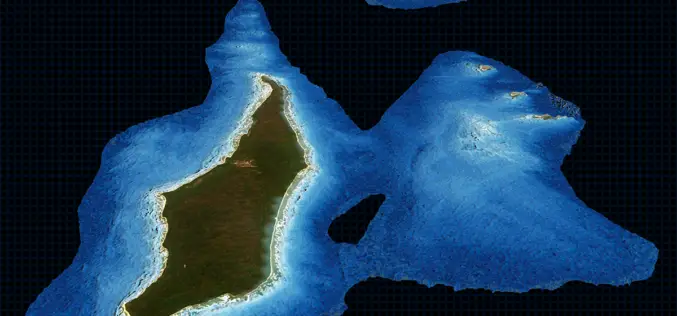
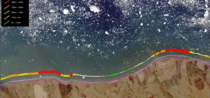
TCarta Delivers Satellite-Derived Land/Sea Floor Surface Models for Caribbean Disaster Recovery
BRISTOL, United Kingdom, 17 April 2018 – TCarta, a global provider of marine geospatial products, has delivered pre- and post-disaster surface models for the Caribbean islands of Antigua and Barbuda
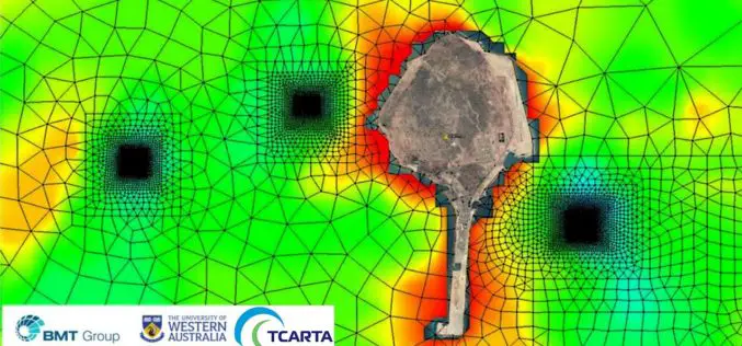
Satellite Derived Bathymetry from TCarta Plays Key Role in Aquaculture Siting Project
Fish Farms in Arabian Gulf BRISTOL, United Kingdom, February 14, 2018 – British Engineering and Scientific Consultancy Firm, BMT, is using Satellite Derived Bathymetry from TCarta as a critical dataset
CARIS Bathy DataBASE 4.4 Released
Fredericton, NB, Canada – August 09, 2017 – Teledyne CARIS™ is pleased to announce the release of Bathy DataBASE™ (BDB) 4.4. This new version addresses the important areas of feature generalization
TCarta Marine Changes the Way Dynamic Environments are Managed and Monitored with Introduction of Vector Shorelines
DENVER, Colorado, USA, 8 August 2017 – TCarta Marine has made the world’s most dynamic environments easier to monitor and manage with the introduction of its new multi-scale Shoreline Products. Offered in
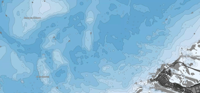
ADSIC Contracts Proteus FZC to Provide TCarta Marine Spatial Data Package for Arabian Gulf
Abu Dhabi, 20th July 2017 – Proteus FZC, Middle East’s leading provider of remote sensing services has been contracted by the Abu Dhabi Systems & Information Center (ADSIC) to provide 2m
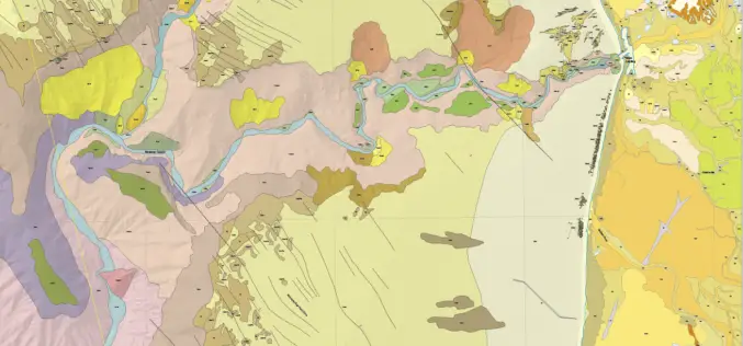
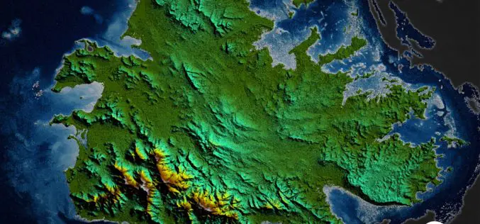
New Maps Illuminate Monterey Bay Area Seafloor
Six new sets of maps reveal the diverse and complex range of seafloor habitats along 130 kilometers (80 miles) of the central California coast from the Monterey Peninsula north to Pigeon
