
Tag "Astrium"

GIS
Mystery Deepens As Search Area Expands For Malaysia Airlines Flight MH370
It has been 12 days to the missing Malaysia Airlines flight MH370 since March 8. The search for Flight MH370 has now been expanded deep into the northern and southern hemispheres.
GIS
Remote Sensing
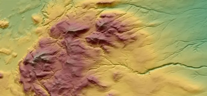
Reach More Accurate Heights with WorldDEM™ dataset
The WorldDEM™ from Astrium is Intended to be the Replacement Data Set for SRTM Here it comes the most accurate DEM after a long overdue treat. The WorldDEM™ data from Astrium is a
