
Tag "archaeology"
Remote Sensing Technology Employed in Iran to Identify Archaeological Sites
Iran – According to recent news reported by the Financial Tribune, for the first time in the annal of Iranian technological history, remote sensing techniques have been employed to study and identify

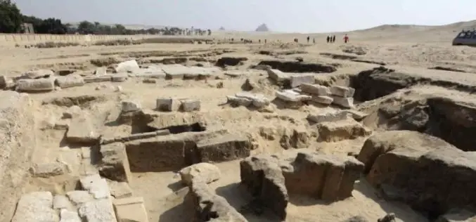
Egypt to Map Archaeological Sites
A map of all of Egypt’s archaeological sites and museums has been created and will be launched for the first time on sites around the country The Geographic Information System

Airborne LiDAR Reveals Maya Civilization Landscape
The Maya civilization was one of the most dominant indigenous societies of Mesoamerica (a term used to describe Mexico and Central America before the 16th century Spanish conquest). The earliest Maya settlements
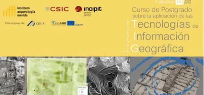
Specialization course in Geospatial Technologies for Archaeology
The ArcLand partner Incipit – Instituto de Ciencias del Patrimonio (Institute of Heritage Sciences, Spain), in collaboration with the Mérida Institute of Archaeology, announces the launching of a new edition of
