
Tag "Aerial LiDAR survey"

LiDAR
Aerial LiDAR Survey to Produce 3D Flood and Hazard Maps for River System in Philippines
Catandunganon, Philippines – Recently a team from the Department of Science and Technology (DOST) and the University of the Philippines Training Center for Applied Geodesy and Photogrammetry (UP TCAGP) has conducted
LiDAR
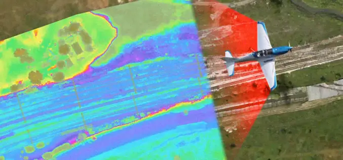
Aerial LiDAR Survey of Rail Corridor Between Mumbai and Ahmedabad
According to recent news reported by TOI, The railways will use LiDAR technology -aerial survey using a chopper -to speed up work on India’s first high-speed train corridor between Mumbai

Remote Sensing
World’s Biggest Aerial LiDAR Survey to Reveal Angkor Wat Historical Secrets
Angkor, in Cambodia’s Northern Province of Siem Reap, is one of the most important archaeological sites of Southeast Asia and listed in world heritage sites by UNESCO. Stretching over some
