
Tag "3D"
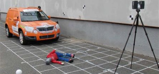
3D Mapping to Investigate Traffic Accident Cases
Singapore – According to recent news by The Star Online, traffic police officers from the Fatal Accident Investigation Team (FAIT) of Singapore are recreating event of accident site using 3D
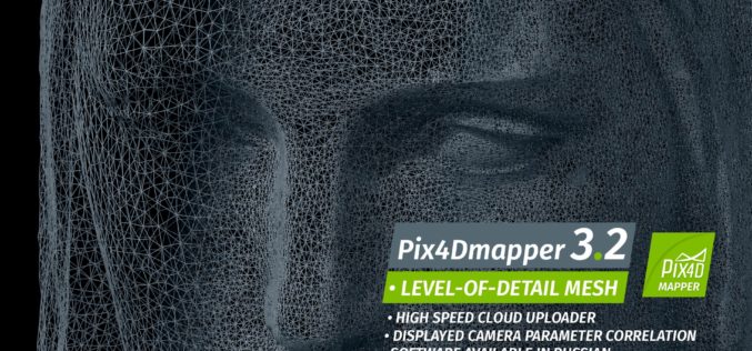
Pix4Dmapper 3.2 Now Generates Tiled Level-of-Detail (LoD) Mesh
May 2, 2017 – Today, we are happy to announce our Pix4Dmapper Desktop 3.2 release. The new version has great advancement in stability and usability – Upload desktop projects to cloud
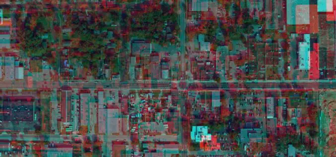
East View Geospatial Announces Training Data Library for Geospatial Machine Learning
MINNETONKA, Minnesota, USA, 24 April 2017 – East View Geospatial (EVG), a provider of content-rich cartographic products, is building a library of highly accurate geospatial training data for use in
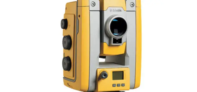
Trimble’s New Total Station Provides Millimeter Accuracy for Monitoring Applications
Trimble S5 Ti-M Features FineLock Technology—Locks onto Targets with Precision in Congested Work Areas SUNNYVALE, Calif., April 12, 2017—Trimble (NASDAQ: TRMB) announced today the release of a new monitoring device,
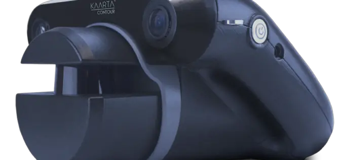
KAARTA Alters the Course of 3D Modeling With Launch of Contour
The first-of-its-kind device condenses 3D modeling to one product, one step, in real time Houston, TX-April 3, 2017 – Kaarta, innovator of the next big leap in 3D modeling, brings an
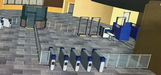
3D Mapping of Delhi Metro Station to Help CISF
New Delhi, India – According to recent news the DNA, all the major Delhi Metro stations have gone through the 3D mapping, this shall certainly help Central Industrial Security Force (CISF)
Explore Great Britain with OS’s Ultimate Adventure Planning Tool
Fresh from being named the UK Outdoor Industry’s Digital Product of the Year, OS Maps has become even better with the inclusion of an immersive 3D view of Great Britain in
Comparable Maps, Anytime, Thanks to Pix4D and Sequoia Sunshine Sensor
Consistent Index Maps When you are a service provider with high client expectations, you need to be able to obtain quality results on a regular basis. When it comes to
Evolving Photogrammetry from Single-Pair Stereo to Multi-View rayCloud
Pix4Dmapper Pro’s rayCloud is a full-3D interface which allows visualization and analysis based on multi-ray intersections from 2D images. This provides a more accurate and consistent solution than extracting 3D
3D Map Tools Launched for Maltese Islands
According to recent news by the Times of Malta, Cloudisle – a series of baseline 3D maps of Malta that will serve as the base for research in cross-thematic fields –
