
Tag "3D mapping"

Pix4D Launches New Ground Image Capture App for 3D Modeling With the iPad Pro and iPhone 12 Pro
Pix4D, the photogrammetry industry leader, announces today the release of a new app product for ground images acquisition: Pix4Dcatch. Pix4Dcatch empowers users to easily create ground-based 3D models using an
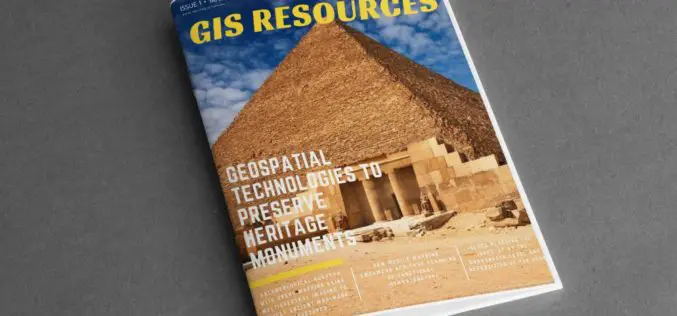
GIS Resources Magazine (Issue 1 | March 2020): Geospatial Technologies to Preserve Heritage Monuments
GIS Resources is pleased to announce the release of its 1st edition (March 2020) of the print and digital magazine. The edition titled “Geospatial Technologies to Preserve Heritage Monuments” focuses
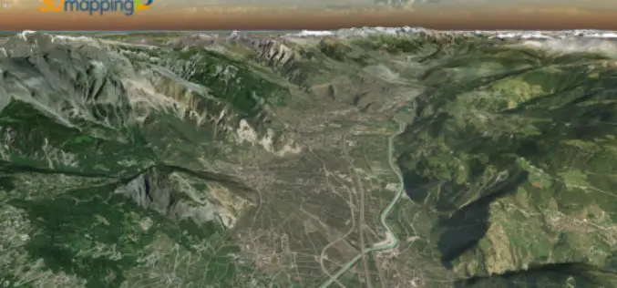
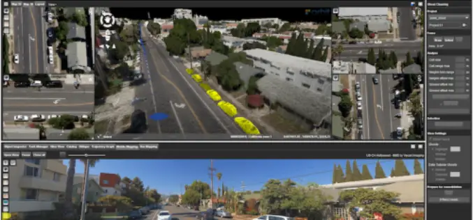
Orbit GT Upgrades 3D Mapping Cloud to Support Meshes, DEMs
“I’m pleased to announce yet another great update for our popular SaaS platform from the Smart City Expo and World Congress in Barcelona”, says Peter Bonne, CEO of Orbit GT.
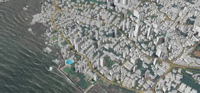
NTT DATA and MapmyIndia to Develop First 3D Map Datasets for India
Tokyo, Japan, and New Delhi, India, May 21, 2018 – MapmyIndia is happy to announce its partnership with NTT DATA Corporation (TOKYO: 9613) a global IT solutions provider, to develop India’s first large-scale
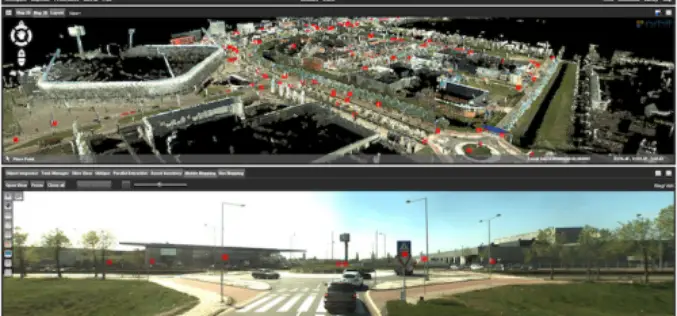
Orbit GT Releases 3D Mapping Feature Extraction Pro V18.0.6
March 19, 2018 – “We’re proud to announce that, with this release, our full portfolio has now been upgraded to version 18”, says Peter Bonne, CEO of Orbit GT. “As

Delair Introduces Industry’s Most Advanced Fixed-Wing UAV for LiDAR-Based Aerial Surveying and 3D Mapping
New Delair DT26X LiDAR drone combines LiDAR sensing with RGB camera data to enable highly accurate and high-resolution 3D representation and measurement over large areas with minimal flights and in
Orbit GT Releases 3D Mapping Content Manager V18
Jan. 30, 2018 – Orbit GT is happy to release the new 3D Mapping Content Manager v18. “The Content Manager is arguably the most unique yet extremely powerful product in our

UNSW Will Produce 3D Digital Maps of Sydney’s Buildings And Infrastructure
Leading geospatial scientist Sisi Zlatanova is joining UNSW to head a research centre that will produce 3D digital maps of Sydney’s buildings and infrastructure. According to recent news published by University of New
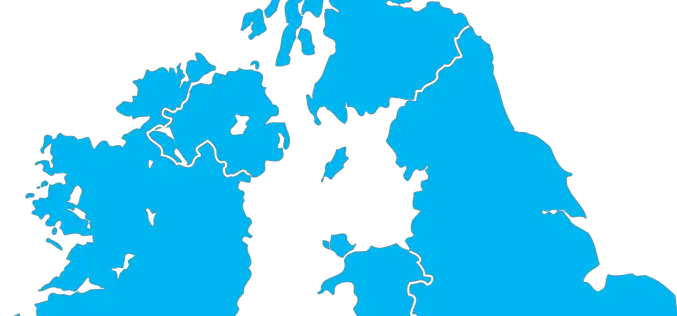
The Environment Agency to Map England’s Entire Landscape with 3D Laser Mapping
The Environment Agency has announced plans to map England’s entire landscape by 2020, using the data to assess flood risk and inform conservation work. December 30, 2017 – Environment Agency – The Environment Agency
Orbit GT Releases 3D Mapping Feature Extraction Standard v18
Orbit GT launches the 3D Mapping Feature Extraction Standard product version 18. “We’re pleased to announce the release of our second product from the Feature Extraction portfolio”, says Peter Bonne,
