
Tag "3D map"
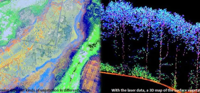
Protecting Nature Using Airborne Laser Footprint Data
In a study by Prof. Norbert Pfeifer at the Vienna University of Technology, reveals the significance of using airborne laser technology in protecting nature. The study area is ‘‘Nagyerdo˝’’ (Great

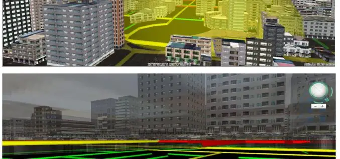
Explore and Download Berlin 3D City Model
The 3D city model of Berlin the German capital is open to the public as Open Data. The Berlin 3D city model data plays a leading role throughout Europe in the
Improve Underground Utilities Management and Public Safety by 3D GIS
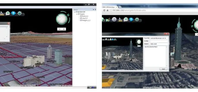
Developed by Supergeo Technologies, SuperGIS 3D Earth Server is going to support underground utilities management. The breakthrough tech enables administrators to comprehend the distribution of underground utilities that cannot be
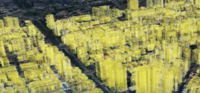
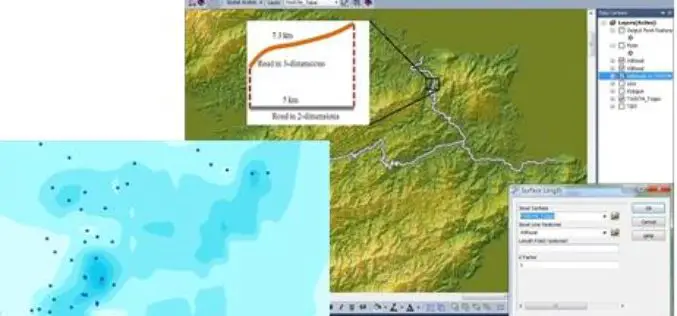
Brain of Smart City: A GIS Platform for Sharing 2D and 3D Maps
Smart City, defined as utilizing digital technologies to trim costs and resource consumption to engage its citizens more effectively in various domains like transport, health care, energy, water, and so

SuperGIS 3D Earth Server Updates with Stronger Functionality
Supergeo Technologies, the global leading GIS software and solution provider, releases the latest SuperGIS 3D Earth Server 3.2 with diverse enhancements and structure modifications to elevate user experience of 3D
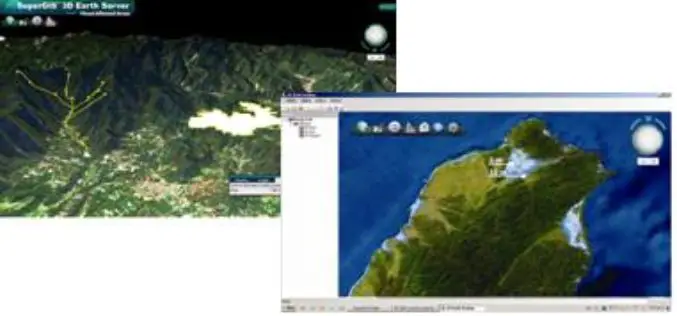
SuperGIS Webinar: Monitor Environment Changes with 3D GIS Tech
Supergeo is going to hold a webinar to show how 3D GIS can be applied to rapid changes of natural and urban environments with SuperGIS 3D Earth Server 3.2, the
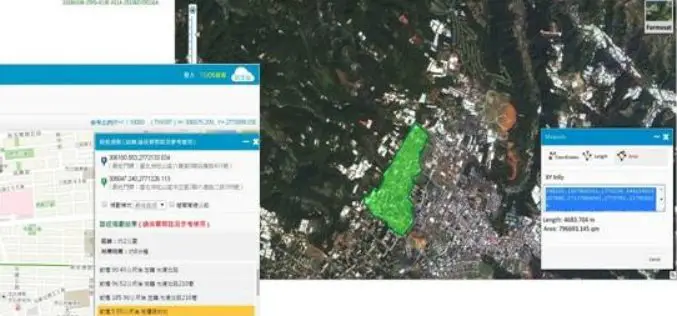
SuperGIS is Selected for Public Infrastructure in Nepal
Supergeo Technologies, the global leading GIS software and solution provider, announces that Rajdevi Engineering Consultant utilizes SuperGIS Desktop, SuperGIS Spatial Analyst and SuperGIS 3D Analyst in several governmental public infrastructure
Superior 3D Map Viewing with SuperGIS 3D Earth Server Front-end Applications
To provide users a superior 3D map experience, Supergeo releases whole new front-end applications, the desktop client application, SuperGIS 3D Earth, and the browser plug-in, SuperGIS 3D Earth Plug-in, for
SuperGIS 3D Earth Server 3.2 to Enhance 3D Map Display Performance
Supergeo Technologies is going to release front end applications for enhanced 3D map display performance for SuperGIS 3D Earth Server 3.2 users. The desktop client application, SuperGIS 3D Earth, is

Taipei City Government Launched a Online Historical 3D Map
In recent news by Liberty Times, The Department of Urban Development of Taipei City Government has launched a web based historical 3D map. The application facilitates citizens to compare the
