
Tag "3D globe"
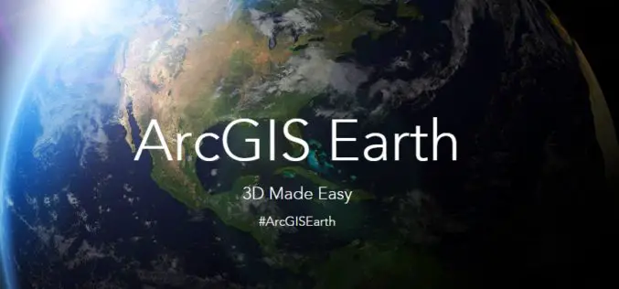
Esri Unveils ArcGIS Earth to the World
Free Interactive 3D Globe Allows Everyone to Visualize, Explore, and Understand Spatial Data Esri, the world leader in mapping technology, has launched ArcGIS Earth, a free, desktop-based interactive globe that

Saab and DigitalGlobe Announce Vricon Joint Venture to Create the Globe in 3D
Vricon will create high resolution elevation products and accurate, immersive 3D products with unmatched coverage and delivery timelines Defense and security company Saab and DigitalGlobe, Inc. (NYSE:DGI), a leading global
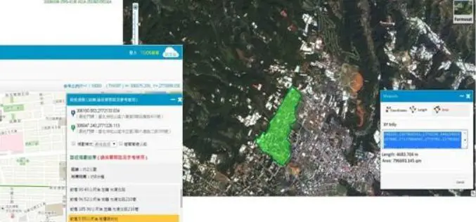
Brain of Smart City: A GIS Platform for Sharing 2D and 3D Maps
Smart City, defined as utilizing digital technologies to trim costs and resource consumption to engage its citizens more effectively in various domains like transport, health care, energy, water, and so

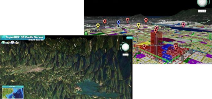
SuperGIS 3D Earth Server Updates with Stronger Functionality
Supergeo Technologies, the global leading GIS software and solution provider, releases the latest SuperGIS 3D Earth Server 3.2 with diverse enhancements and structure modifications to elevate user experience of 3D
Smart City Solutions on 3D GIS Platform
Supergeo Technologies is going to bring GIS users a no-cost 3D GIS webinar to solve modern city management problems. The webinar will show how 3D GIS can be applied to

Webinar: Smart City Solutions with Interactive 3D GIS Technologies
Smart City Solutions with Interactive 3D GIS Technologies Feeling not enough about traditional 2D maps? With SuperGIS 3D Earth Server, you can see different features and explore spatial relations on
