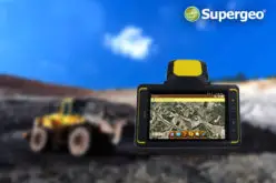
Supergeo, the total GIS software solution provider, announces that Almacelles Irrigation Community, Spain utilizes SuperSurv for Android to improve irrigation efficiency and productivity.
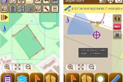
SuperSurv is a powerful mobile GIS App designed for field data collection on Android and iOS platforms. Integrating with GIS and GPS technologies, SuperSurv provides functions like Map Display, Query, Measure, and supports OpenStreetMap as the basemap. Also, users may capture point, line and polygon features with attribute information, and save the data as SHP or GEO formats in both offline and online modes.
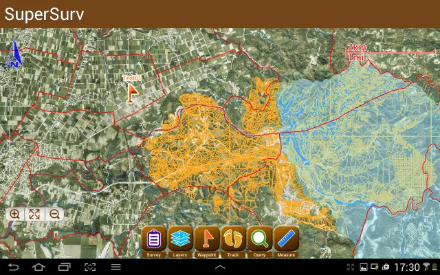
Using GIS technology,farm managers are able to efficiently distribute water resources and increase field productivity by improving data management.Paperwork is no longer neededfor land use changes. Instead, they can update and integrate irrigation system information with their Android devices.With the rectified maps, users can not only manage large datasets but also save more time to focus on their field work.
SuperGIS solutions also offer the possibility to assist agricultural parcel management. The National Irrigation Authority in Philippines used SuperGIS Desktop to digitize paper cadastral maps, so that billing information could be clarified for better management.
SuperSurv free trial to improvefieldwork
http://www.supergeotek.com/ProductPage_SuperSurv.aspx
SuperGIS Agricultural applications
http://www.supergeotek.com/Library_2_201308.aspx
http://www.geoconnexion.com/uploads/publication_pdfs/int-v14i5-fields-of-gold.pdf
# # #
About Supergeo
Supergeo Technologies Inc. is a leading global provider of GIS software and solutions. Since its establishment, Supergeo has been dedicated to providing state-of-the-art geospatial technologies and comprehensive services for customers around the world. It is our vision to help users utilize geospatial technologies to create a better world.
Supergeo software and applications have spread worldwide to become the backbone of the world’s mapping and spatial analysis. Supergeo is the professional GIS vendor, providing GIS-related users with complete GIS solutions for desktop, mobile, server, and Internet platforms.