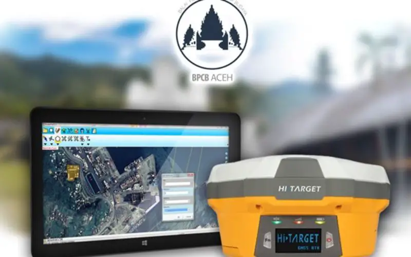
The worldwide GIS software and solution provider, Supergeo is pleased to announce that the full-featured mobile GIS software, SuperPad, has been selected by BPCB Aceh to assist heritage preservation in Banda Aceh, Indonesia.
As the biggest city and capital of Special Region Aceh, Banda Aceh is located on the northwestern tip of Sumatra and has a population of 220,000 people. And this city has rich cultural heritages because it is situated at a critical spot, which is the closest port to India and Islamic world for the Indonesians. The Balai Pelestarian Cagar Budaya Aceh (BPCB Aceh) is an institute under the Ministry of Education and Culture and has long-term dedicated to preserving precious culture heritages like ancient tombs, temples, mosques, and forts in this region.
Specially designed for field workers, SuperPad supports both Windows and Windows Mobile OS and can collect high-precision spatial data with professional surveying devices. And for accessing map services, SuperPad supports many OGC standards, like WFS, WMS, and WMTS and can synchronize with SuperGIS Server as well, helping field workers to get rich spatial information via the internet without preparedness. For the cultural research, by using SuperPad at the excavation site, the archaeologists can overlay the geologic map and satellite imagery with collected spatial data and gain more information immediately.
There are more advantages that mobile GIS software can offer to the cultural research and heritage preservation such as CM-level positioning precision, on-the-fly projection, and various extensions.
Now, users can download a free trial and experience the convenience it instantly via:
http://www.supergeotek.com/download_6_mobile.aspx
The key features of SuperPad:
http://www.supergeotek.com/productpage_SP3.aspx?Type=Key%20Features