Free GIS Data – Snow/Ice, Lakes, Oceans and other Water Sources Data
Snow/Ice, Lakes, Oceans and other Water Sources Data
- Randolph Glacier Inventory: A global inventory of glacier outlines, including some multi-temporal data. Major focus on quality control.
- NSIDC Frozen Ground maps: Maps of various types of frozen ground (permafrost) in the Arctic and various other areas.
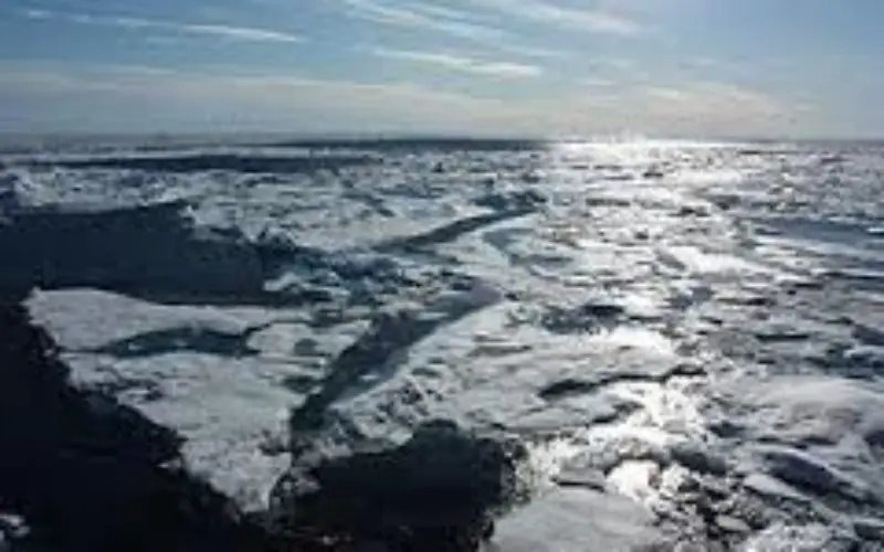
- Multisensor Analyzed Sea Ice Extent (MAISE): Sea ice extent for the Northern Hemisphere from the NSIDC.
- Coastal Water Quality: Quality of coastal waters across the globe measured by chlorophyll concentrations from SeaWIFS satellite. Data for 1998 and 2007.
- Global Reservoir and Dam Database: Geographically-referenced data on all reservoirs with a storage capacity of more than 0.1 cubic kilometres. The data consists of polygons outlining reservoirs at high spatial resolution with extensive metadata about the dam and reservoir.
Categories:
GIS Data