 “GIS technology plays an important role in managing our natural and man-made water infrastructure, and is readily available”,The recent floods in Chennai have been largely blamed on water body encroachments. The Madras High Court has ordered that no more encroachments of any kind be tolerated on water bodies. By constructing buildings on water bodies and runways on wetlands, we have damaged our natural drainage basins. The rate of disappearing water bodies and wetlands has reached an alarming level, and the impact is being felt beyond the environment and into the socio-economic sphere. So what immediate actions can we take to identify our water bodies, study the rate of disappearance, arrest the decline and, ultimately, take steps to reverse this self-destructive course?
Before we discuss potential solutions, we must identify the problem. Geographical information system (GIS) and remote sensing technologies can help with tracking of water bodies, detecting changes using remote sensing, performing temporal analysis to view the rate of disappearance in a dramatic way, and measuring volume loss of water bodies. These techniques will provide a true picture to decision-makers, allowing them to make appropriate policy decisions.
Tracking water bodies must start at local and regional levels. A number of methodologies can be used, including satellite imagery, field data collection using GPS and aerial photography. Indian remote sensing satellites provide highly accurate satellite imagery for end-users. GPS technologies provide sub-centimetre accurate data and aerial photography provides centimetre-level data. This data, once collected, can then be used to create GIS maps of water bodies.
When analysing disappearing water bodies, it is important to capture data on a periodic basis to get an accurate depiction. For urban regions, it is recommended that water bodies be mapped twice a year at a minimum. A process must be set up such that these areas are mapped on a routine basis. This can be accomplished by setting up a task force for the water body mapping project or assigning a research team at a nearby higher educational institute. Once these areas are mapped, it will allow us to quantify changes by calculating change detection statistics.
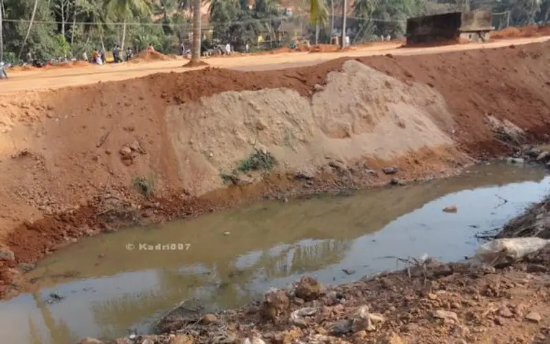
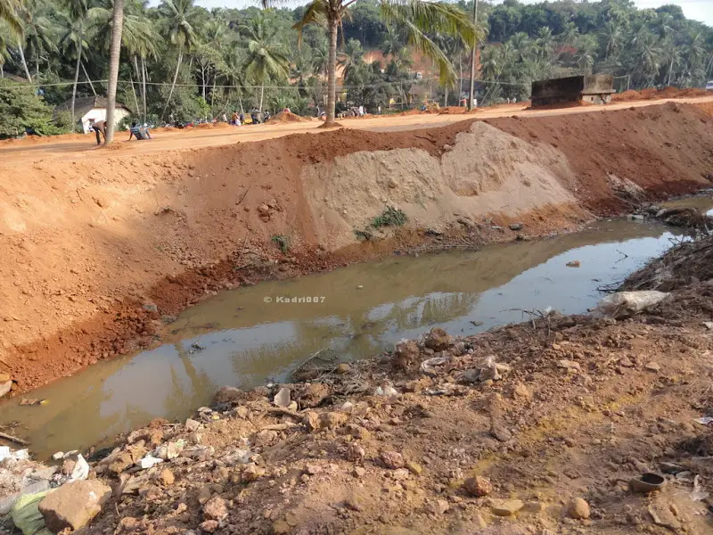
A number of large-scale studies have been performed over the years, including a study by Tufts University of the US for central Asian water body Aral Sea, wherein author Jeffrey Trull used historic aerial imagery to perform remote sensing analysis to detect changes. In another study by the University of Queensland for small water bodies in Ghiduari Mouza of Atpara Upazila in Bangladesh, researchers Khondaker Mohammod Shariful Huda, Ummeh Saika and Md Al-Amin Hoque used field surveys to map water bodies. They were able to detect significant changes, and because they used field surveys, they were also able to pinpoint the reasons for these changes—settlement, plant residuals, encroachment, drainage and sedimentation.
Once detected, visualising these changes for policy-makers is important. One of the more effective tools for such visualisation is temporal analysis. Making the mapped data layers time-aware will allow analysts to perform spatial temporal analysis, which allows one to view changes in time-aware data at a different point in time. It essentially is a time-lapse video of water bodies and provides a clear before-and-after contrast. Temporal analysis allows analysts to look at changes over a specific period of time throughout the region as well as changes for a specific water body for the entire time span.
Once water bodies are identified and we can conclusively show the disappearing effect, the challenge is slowing down the process. A scientific study that shows true causes of disappearance leaves little room for political debate. This allows policy-makers to make recommendations in a more objective manner. A number of policy tools are available to save water bodies from disappearing, depending upon the identified cause. These include land-use regulations that protect wetlands, enforcement actions against encroachments, development master plans that protect water bodies, regular maintenance of water bodies to clean sediments and plant residuals, improvement of drainage infrastructure, general awareness programmes that encourage public participation, etc. We should also mandate environmental impact assessments (EIA) on major construction projects such as airport runways. An objective EIA would clearly identify potential pitfalls of building a runway on wetlands.
The spotlight put on water body encroachment by the recent floods in Chennai offers an opportunity for us to undo years of damage. We must take urgent actions to reverse the trend before it is too late. GIS technology plays an important role in managing our natural and man-made water infrastructure, and is readily available. What has been missing thus far is political and social will. For more information visit : http://www.financialexpress.com/article/fe-columnist/saving-indias-vanishing-water-bodies/191716/