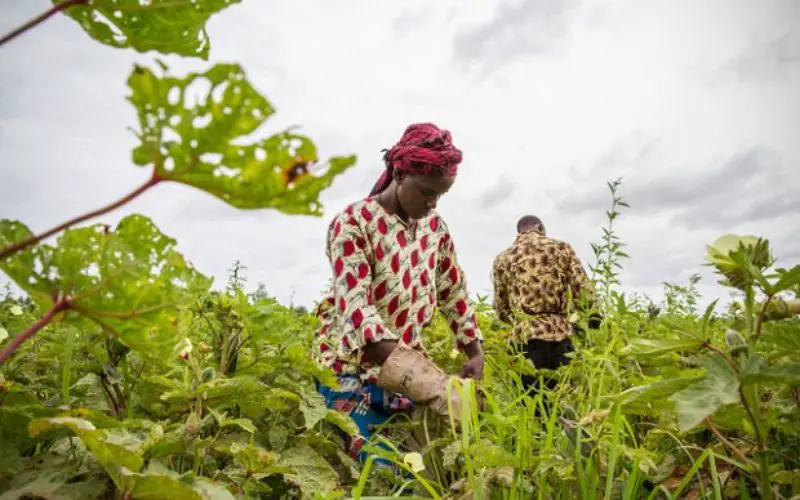
Multi-temporal SPOT 6 and SPOT 7 images combined with in-situ measurements deliver crop monitoring and crop production estimates
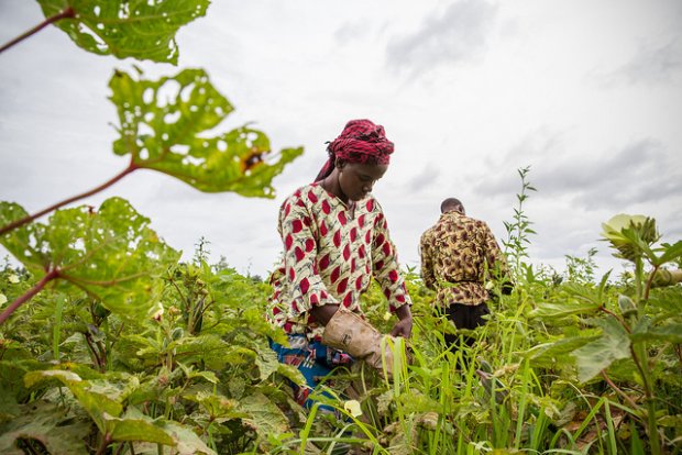 Airbus Defence and Space delivers SPOT 6 and SPOT 7 satellite data in support of the TARBIL (Agricultural Monitoring and Information System Project) project in Turkey. TARBIL is a highly technological and comprehensive agricultural monitoring project fusing multi-temporal in-situ data from 44,000 sensors across Turkey with SPOT 6 and SPOT 7 satellite images. The project has been initiated in 2011 with the coordination of the Republic of Turkey Ministry of Food, Agriculture and Livestock and financial support from the Ministry of Development. Its goal is to create up-to-date agricultural parcel maps of the country, to measure actual crop yield by commodity and forecast the upcoming season’s harvest.
Airbus Defence and Space has been supporting the project since 2012, when it signed two agreements with the Istanbul Technical University (ITU) that aimed to develop high-resolution and large-area coverage services in Turkey, particularly for agricultural applications. These agreements covered the installation of a SPOT New Generation Receiving Station as well as the reception of SPOT 6/7satellite data. The agreements constituted a continuation of a long collaboration started in 2002, when ITU first started receiving SPOT 4 data via its ground receiving station managed by the Application & Research Center for Satellite Communication and Remote Sensing (CSCRS).
Thanks to the operational use of SPOT 6/7 data ITU is able to intensify its high-resolution activities while leveraging the increased acquisition capacity, daily revisits and quick-response tasking capability of SPOT 6/7. ITU has implemented the TARIT Agricultural Drought Monitoring and Crop Yield Estimation pilot project, now fully operational and which paved the way to the TARBIL programme.
ITU is playing an active role in agricultural and environmental developments and is organizing, together with the TARBIL Agricultural Informatics Applied Research Center, the Fourth International Conference on Agro-Geoinformatics (Agro-Geoinformatics 2015), held in Istanbul, Turkey, on July 20-24, 2015.
Contact:
Fabienne GRAZZINI
+33 5 62 19 41 19