ISRSE – 750 experts meet in Berlin to discuss trends and challenges in remote sensing
How is the ozone layer changing? What is the distribution of trace gases in Earth’s atmosphere? How are forests, coastlines, landmasses and polar regions changing on a global scale? In what way can Earth observation satellites assist with the reaction to natural disasters such as the recent earthquake in Nepal, and how does their data benefit geology, agriculture, urbanisation, health and energy management? What techniques are available to process the ever-increasing volume of data?
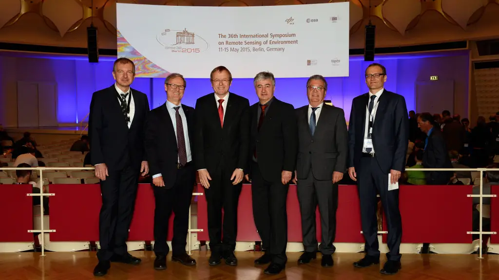
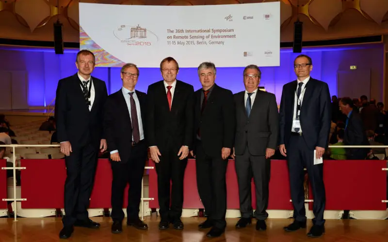
Opening of the 36th International Symposium on Remote Sensing of the Environment (ISRSE)
Credit: DLR
These are the key topics at the 36th International Symposium on Remote Sensing of the Environment (ISRSE), which opened in Berlin on 11 May 2015. At the invitation of the German Aerospace Center (Deutsches Zentrum für Luft- und Raumfahrt; DLR), approximately 750 experts from over 65 countries will take part in this biennial meeting.
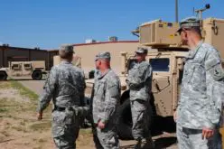
“With its institutes and its role as a space agency, DLR is at the forefront of international development and the promotion of new technologies in the areas of radar, optical systems and lasers. These technologies, with which we cater to the entire chain of geo and engineering sciences, are equally of interest for research and industrial applications,” said Johann-Dietrich Wörner, Chairman of the DLR Executive Board, to mark the opening. “We are developing systems and algorithms to process and archive the ever-growing volumes of data, and to ensure their timely availability. Radar interferometry, for instance, permits registration of ground displacements with millimetric accuracy. Movements of this kind occur during earthquakes, for example, like recently in Nepal,” Wörner continued.
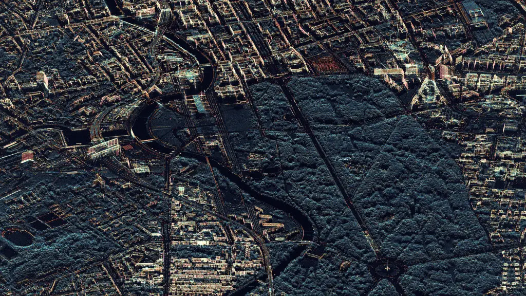
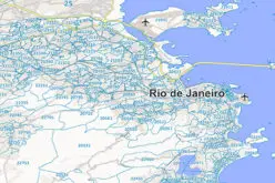
Radar View of Berlin
Credit: DLR
The Global Urban Footprint (GUF), which describes all artificial structures and buildings, is a practical example, derived for the first time using a dataset provided by the German radar satellite mission TanDEM-X. The radar data are used to generate high-resolution images that can be used to draw conclusions on the degree of urbanisation and other factors. This dataset is used in science and for development projects by the World Bank and other organisations. These observations will be continued by the Sentinel satellites within the framework of the emerging European Copernicus Programme.
Here, space is a means to an end and must produce social benefits – directly or indirectly. For instance, satellites help to define optimum sites for wind farms and assist with flood mapping to provide relief services with a rapid overview of the situation. During a panel discussion with representatives from other space agencies, Gerd Gruppe, Member of the DLR Executive Board responsible for the German Space Administration, highlighted other outcomes, which include progress in global change research, as well as innovation and the development of new markets.
Alongside radar satellites, optical remote sensing plays a significant role; for example, in 2018 the German environmental satellite EnMAP will start imaging Earth’s surface in over 200 spectral channels. The data, referred to as ‘hyperspectral’, will enable a number of new applications, including categorisation of the state of vegetation and distinguishing between various mineral compositions on the surface.
The European Data Relay System (EDRS) will ensure efficient data transmission from the satellites to Earth; this system consists of geostationary relay satellites that use laser communications to receive data from satellites travelling in low orbits and transmit them back to Earth. Laser Communication Terminals (LCTs) – largely developed and built in Germany – deliver the key technology for this.
The 36th ISRSE is taking place at a key moment; this year, the United Nations (UN) will define a global development agenda with ‘Sustainability Development Goals’. In March, the organisation also passed the second Hyogo Framework for Action , which is aimed at reducing damage caused by catastrophes around the world. The UN will also organise the next World Climate Conference, to be held in Paris from 30 November to 11 December 2015; there, a decision will be made on a successor to the Kyoto treaty. Within the field, a global programme for the protection of forests is also being planned. Earth observation plays a vital role in all of these activities, supplying unique global data with unrivalled timeliness. “It would be wonderful if the symposium contributes to ensuring the availability of this data and the scientific insight it yields at high quality and in the long term, and that it is increasingly used within international activities,” said Wörner in conclusion.