Official release of CARIS Onboard 1.0: A Real-time Data Processing and Mapping Application
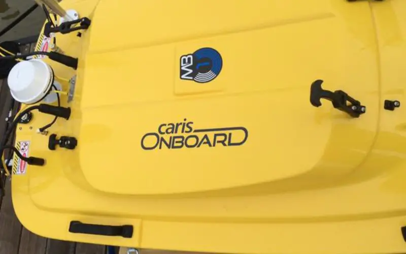
CARIS is pleased to announce its release of the highly anticipated, near real-time data processing and mapping application, CARIS Onboard™. The development of this new technology will revolutionize the way in which bathymetry and imagery data is processed.
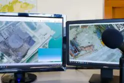
CARIS Onboard automatically converts data as it becomes available and applies a range of pre-determined corrections, the data can then be used to generate a terrain model or mosaic. This allows for early visualization of seafloor characteristics, putting a greater emphasis on quality control and supporting an environment of improved decision making and greater efficiency. CARIS Onboard has been designed to work with survey launches, autonomous underwater vehicles and unmanned surface vehicles. CARIS Onboard is a force multiplier allowing multiple datasets to be processed quickly and consistently. With the ever-expanding volume of data being collected at higher resolutions, CARIS Onboard fits seamlessly into the Ping-to-Chart™ suite of software and reduces your product creation timeline.
“We are very excited to announce the official release of CARIS Onboard, this is a highly sophisticated data processing service that highlights a move in the industry towards greater automation, which is essential as data volumes and data sources increase,” said Dr. Salem Masry, President and CEO of CARIS.
The creation of CARIS Onboard is the next step in the ever-evolving hydrographic data processing landscape and is based on decades of trusted expertise. CARIS Onboard is supported by the highly scalable CSAR framework and designed to function in both high and low bandwidth environments including remote operations. This software will provide an operational advantage by enabling your skilled workforce to concentrate on getting the best results possible.
About CARIS
Established in 1979, CARIS is a leading developer of geospatial software. The CARIS Ping-to-Chart™ product line delivers an integrated software solution for the entire workflow of hydrographic information from the echosounder “ping” through to the production and distribution of the “chart”. CARIS products are continually selected by hydrographic offices, military agencies, survey contractors, ports and harbours, municipalities, land administrators and academia among others. In addition to its Canadian headquarters, CARIS has offices in The Netherlands, United States, Australia and United Kingdom. There are also more than 20 resellers bringing sales and support of CARIS brand software to more than 85 countries.