Credit: Gisborne District Council
Gisborne – April 6, 2018 – Gisborne District Council will receive over $1 million in funding to fly LiDAR across the entire district, a project that will bring major economic and infrastructural benefits for the region.
Ministry for Primary Industries and Land Information New Zealand have provided the funds that will cover the entire cost of the project.
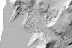
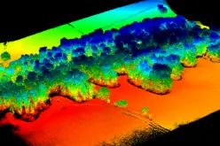
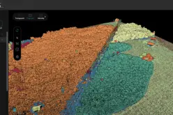
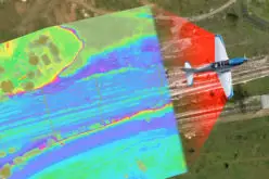
LiDAR – which stands for light detection and ranging – is a remote sensing tool that uses laser pulses to generate large amounts of highly accurate geographical terrain data.
Once completed, the LiDAR survey data will be free for the public and commercial businesses to use in a range of areas, including infrastructure design, urban planning and flood plan mapping.
Council’s environment and science manager Lois Easton says it will provide the quality spatial information needed to make informed choices about land development options.
“This is a key element in unlocking land productivity. It will also be invaluable to the forestry industry who often fly localized LiDAR to help with harvest planting.
The data will assist in road design and planning, as well as management of erosion and flooding in rivers in the district.
“LiDAR will also enable us to better map and therefore manage natural hazards such as tsunami and storm surge areas of impact. It will enable accurate mapping of earthquake faults, landslides and earth flows and other areas of instability,” Ms Easton says.
Other areas that will benefit from the data is riverbed and gravel management and the identification and preservation of unmapped archaeological sites.
It is likely the LiDAR flying will take place in early summer.
Council’s principal scientist Murry Cave and land information manager Mark Cockburn are leading the project.
Source: Scoop Regional