A new tool that gives users the most detailed view yet of the world’s mountains is now available from the USGS. And it’s as close as your computer or cellphone.
OCTOBER 24, 2017 – The Global Mountain Explorer can help a variety of users – from hikers planning their next adventure, to scientists, resource managers and policy makers seeking information that is often sparse in these prominent yet often understudied landscapes. Mountains occupy anywhere from 12 to 31 percent of the land surface of the Earth, but despite their importance, surprisingly few attempts have been made to scientifically define and map these regions worldwide with detail.
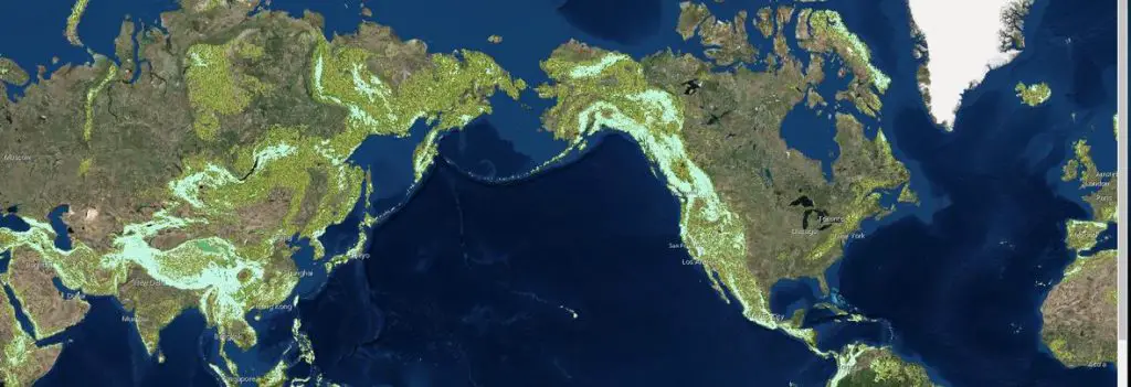
An example display from the Global Mountain Explorer tool showing a map of mountains on top of a satellite image background.(Public domain.)
“This product allows anyone with access to the Internet to explore where mountains are, whether they are low or high, scattered or continuous, snowy or snow-free,” said USGS ecosystems geographer Roger Sayre, who led the project. “Mountain Explorer users can visualize and compare in one place and for the first time the three major global mountain maps that have been produced,” he added.
Mountains provide significant water, timber, and mineral resources, and food, fiber, and fuel products. They are home to diverse ecosystems and wildlife and are valued for their esthetic beauty and recreational offerings. Mountain areas are also prone to natural hazards. But despite their importance, surprisingly few attempts have been made to scientifically define and map these regions worldwide with detail.
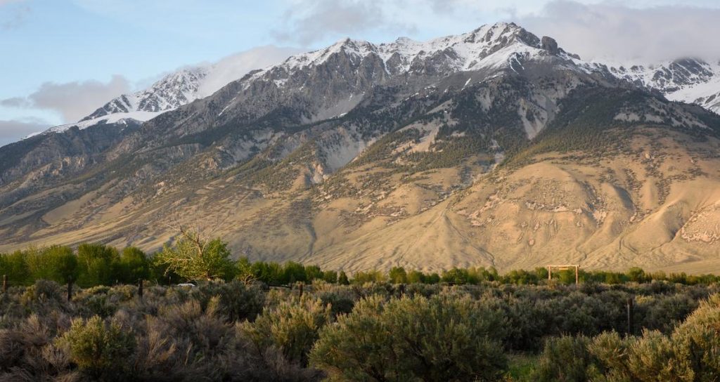
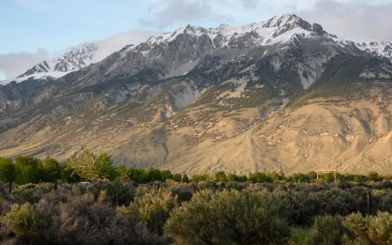
The Global Mountain Explorer provides information from global scales down to specific mountains, such as Borah Peak, Idaho pictured above. (Public domain.)
The USGS developed the Global Mountain Explorer, in partnership with ESRI, and three organizations at the University of Bern in Switzerland – the Center for Development and Environment, the Global Mountain Biodiversity Assessment, and the Mountain Research Initiative. The tool was developed as part of a Group on Earth Observations initiative to accurately delineate mountain regions using best available data. It is intended to provide information on the global distribution and a variety of mountain data with a resolution 16 times more detailed than previous mapping efforts.
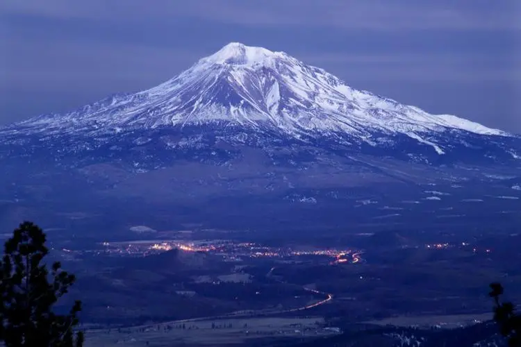
Twilight image of snow-covered Mount Shasta with city lights visible at its base. The Global Mountain Explorer allows users to view mountains and surrounding terrain. (Public domain.)
Users can select an area by zooming in or by typing a place name like Mt. Kilimanjaro to view its elevation and type. They can also select from a number of backdrops — such as satellite images, topographic maps or political boundary maps — on which to display the different types of mountain classes. A tutorial showing the full features for the Global Map Explorer is available here. https://www.youtube.com/watch?v=01g_PkOMzo8
Source: USGS