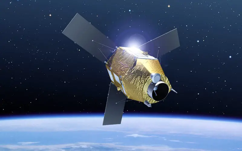
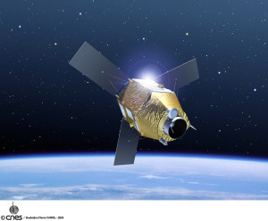
Pleaides-1 Satellite Sensor
(Image credit: Astrium/CNES)
In recent news by Reuters, after mysterious missing of Malaysian flight MH 370 has driven the attention of researchers and industries to develop some satellite technologies that will make it easier in future for authorities to track and communicate with aircraft over water and uninhabited areas.
European and North American teams has developed new systems that will use satellite based sensors to pick up signals containing automated location and velocity data sent every second from aircraft rather than ground based radar antennas, which usually loses coverage over oceans or remote areas or it can be combined with optional on-board satellite communications tools that require pilot actions and that airlines, many under budget constraints, must pay for.
New receivers to pick up the Automatic Dependant Surveillance Broadcast (ADS-B) signals sent out by aircraft every second are therefore being developed by the Aireon and the German Aerospace Centre (DLR) teams to be placed on board satellites orbiting the earth.
Tony Tyler, head of global aviation association IATA, said the hunt for Flight 370 would drive interest in new solutions.
“It’s extraordinary that with all the technology that we’ve got that an aircraft can disappear like this,” he told reporters in London last week. “Certainly I think it will trigger a desire to see how can we avoid this from happening again.”
Aireon LLC president Don Thoma said it was clear that the new system would help aircraft if they ran into problems over oceans or remote areas.
“We’re getting a lot of interest and action from air traffic control organisations that have a vested interest in tracking commercial aircraft in remote areas,” Thoma said.
You may also like-
- Mystery Deepens As Search Area Expands For Malaysia Airlines Flight MH370
- Crowdsourcing the Search for Malaysia Flight 370 – Join The Search
- exactEarth Release Tracking Data of the Search for MH370
Source: Reuters