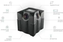
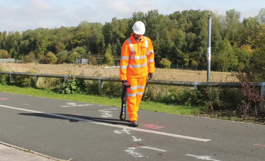
New Leica ULTRA Locator: Best Accuracy Results in Faster, More Confident Work
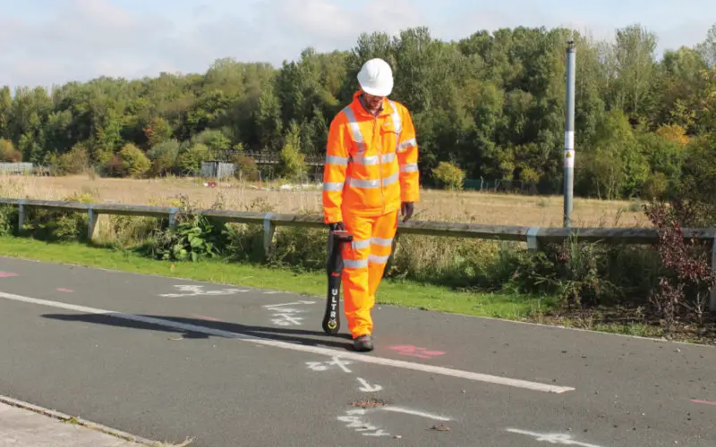
Outstanding performance with operational ease and flexibility help users attain the highest accuracy to avoid costly mistakes, such as cutting utility lines or delaying project schedules during excavation work. By providing a wide range of transmitter mode frequencies operators in segments such as power, water, gas or telecom can easily and quickly optimise the locator performance in any operating condition. Users save time and effort by tracing utility depths and distances. Multiple utilities in close proximity requiring a combination of adjustments can also be traced efficiently and with confidence.
Faster, easier interpretation with reduced downtime
Clear visualisations of line direction and depth indication are displayed on a large LCD interface. Users can easily interpret signal displays in all light conditions. Bluetooth® enables quick connectivity so users can easily transfer data to a GIS data collector.
Leica ULTRA enables flexible settings and operational ease to attain best results and avoid costly maintenance
“The Leica ULTRA enables operators to achieve ‘best in class’ locating and tracing expectations,” said Richard Fling, business development manager, Leica Geosystems. “Encompassing an array of high specification features, the Leica ULTRA is optimised specifically for utility tracing, enabling the path of a service to be accurately found while keeping utility specialists safe.”
Further information on the Leica ULTRA locator at: www.leica-geosystems.com/Ultra
Leica Geosystems – when it has to be right Revolutionising the world of measurement and survey for nearly 200 years, Leica Geosystems creates complete solutions for professionals across the planet. Known for premium products and innovative solution development, professionals in a diverse mix of industries, such as aerospace and defence, safety and security, construction, and manufacturing, trust Leica Geosystems for all their geospatial needs. With precise and accurate instruments, sophisticated software, and dependable services, Leica Geosystems delivers value every day to those shaping the future of our world. Leica Geosystems is part of Hexagon (Nasdaq Stockholm: HEXA B; hexagon.com), a leading global provider of information technologies that drive quality and productivity improvements across geospatial and industrial enterprise applications.