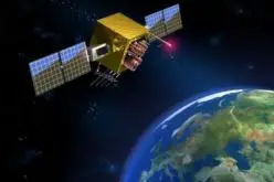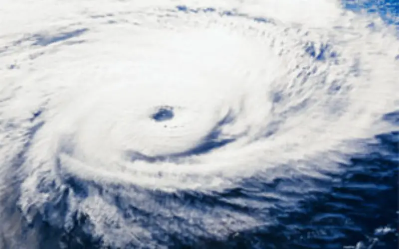
 A new GPS system aboard airplanes can improve hurricane forecasting and weather models by detecting precise conditions in the atmosphere, scientists say.
Current measurement systems that use Global Positioning System (GPS) satellite signals as a source to probe the atmosphere rely on GPS receivers that are fixed to ground and cannot measure over the ocean, or they rely on GPS receivers that are also on satellites that are expensive to launch and only occasionally measure in regions near storms.
The new system, developed by Scripps Institution of Oceanography geophysicist Jennifer Haase and her colleagues, captures detailed meteorological readings at different elevations at targeted areas of interest, such as over the Atlantic Ocean in regions where hurricanes might develop.
“This field campaign demonstrated the potential for creating an entirely new operational atmospheric observing system for precise moisture profiling from commercial aircraft,” said Haase.
“Having dense, detailed information about the vertical moisture distribution close to the storms is an important advancement, so if you put this information into a weather model it will actually have an impact and improve the forecast,” she said.
The new study detailed a 2010 flight campaign aboard National Science Foundation (NSF) aircraft and subsequent data analysis that demonstrated for the first time that atmospheric information could be captured by an airborne GPS device.
The instrumentation, which the scientists labelled “GISMOS” (GNSS [Global Navigation Satellite System] Instrument System for Multistatic and Occultation Sensing), increased the number of atmospheric profiles for studying the evolution of tropical storms by more than 50 per cent.
“We’re looking at how moisture evolves so when we see tropical waves moving across the Atlantic, we can learn more about which one is going to turn into a hurricane,” said Haase.
“So being able to look at what happens in these events at the early stages will give us a lot longer lead time for hurricane warnings,” she said. While the current GISMOS design occupies a refrigerator’s worth of space, Haase and her colleagues are working to miniaturise the technology to shoe box size.
From there, the system can more feasibly fit onto commercial aircraft, with hundreds of daily flights and a potential flood of new atmospheric data to greatly improve hurricane forecasting and weather models.
The study was published in the journal Geophysical Research Letters.
Source: PTI