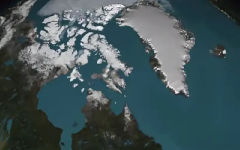
A three-dimensional view of the age and structure of the Greenland Ice Sheet
Scientists using ice-penetrating radar data collected by NASA’s Operation IceBridge and earlier airborne campaigns have built the first-ever comprehensive map of layers deep inside the Greenland Ice Sheet.
This new map allows scientists to determine the age of large swaths of Greenland’s ice, extending ice core data for a better picture of the ice sheet’s history.
-NASA
Categories:
Videos