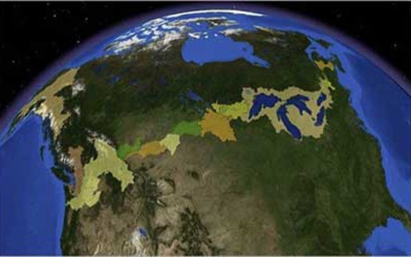

Digital Surface Watersheds along the U.S. and Candian International Boundary.
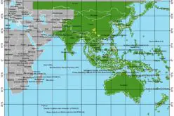
In recent news by USGS, seamless digital maps of surface waters along the Canada and United States International Boundary are now possible. These maps make tracking complex water issues easier to solve that require a thorough understanding of drainage systems on both sides of the International Boundary.
These maps are developed on cooperative basis by both countries helps in better understanding and addressing various issues. For example flooding in the Red River Valley (which flows north from Minnesota and the Dakotas into Manitoba) can be traced; and understanding localized water use and water availability all along the border is now improved.
“In the past, cross-border maps were not always accurate, but now these new digital maps are fully linked across the entire U.S. and Canadian border,” said Peter Steeves, physical scientist with the USGS. “This cooperative project allows scientists on either side to look at the water just as nature does, irrespective of the artificial line separating the two nations.”
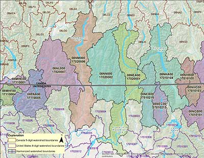
U.S. and Canadian harmonized international sub-basins displaying Canadian 5-digit and U.S. 8-digit hydrologic unit codes; now available within the Watershed Boundary Dataset.
“The USA/Canada coordinated mapping efforts along the International Border have opened doors to joint scientific analysis that rely on hydrography integration”, said David Harvey, National Manager with the Environment Service of Canada. “Water quality and quantity modelling are already being developed on top of this enriched database.”
The principle agencies involved in this effort are the USGS and Natural Resources Canada (NRCan), with oversight by the International Joint Commission (IJC). The U.S. Environmental Protection Agency, Agricultural Foods Canada, Environment Canada along with many provincial and in-state partners participated throughout the process.
Additional information on the NHD and WBD can be found at http://nhd.usgs.gov/.
Read original story at USGS