(Heerbrugg,Switzerland/Anaheim, California, USA, 16 June 2016) – Leica Geosystems, global leader of measurement and reality capture technologies, today announced it has expanded functionality of the popular ALS80 airborne sensor that enables even more flexible data acquisition with extended range measurement capability.
The new ALS80-UP takes advantage of the proven dual-output optical system pioneered in the Leica Geosystems ALS70 and enhanced in the ALS80. The system also benefits from higher Multiple Pulse in Air (MPiA) operation settings, enabling data collection in extreme terrains with minimal variation in swath width due to terrain elevation variations.
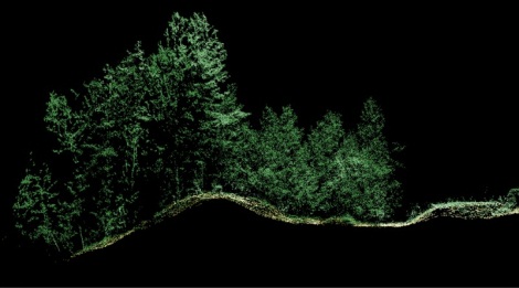
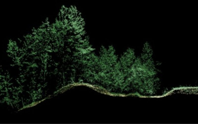
ALS80 Application Image
Exceeding Expectations
The ALS80-UP works perfectly in a wide variety of scenarios, including wide-area mapping, detail mapping from high flying heights and detail mapping over mountainous terrain. With its expanded maximum range, the system has demonstrated great results at up to 6,000 metres above terrain and with terrain relief of up to 2,300 m.
Leidos, Inc., a science and technology solutions leader in national security, health and infrastructure, worked with the ALS80-UP during testing trials. Using the enhanced LiDAR capabilities to improve flight crew safety when mapping in remote regions, the organisation found the increased flying heights beneficial to its mission of defending digital and physical infrastructure.
“We have really put the ALS80-UP through its paces, particularly at high flying heights that are important to our clients. The system has exceeded our expectations with everything we have thrown at it, including some at double the flying height of our current missions,” said Derwin Cantrell, Leidos Geospatial Programs Division program manager. “The sensitivity and point density at altitude significantly increase mission productivity, and do so without giving up flexible performance at low flying heights.”
“We are proud to continue our commitment to extending capabilities and efficiency of the ALS product line, to help make the important work like what Leidos, Inc provides even more productive,” said John Welter, Leica Geosystems Geospatial Solutions Division president. “As our customers continue to innovate with our superior airborne sensor technology,, we are dedicated to advancing the industry and professional with new technology founded in our leading research and development.”
Leica Geosystems – when it has to be right Revolutionising the world of measurement and survey for nearly 200 years, Leica Geosystems creates complete solutions for professionals across the planet. Known for premium products and innovative solution development, professionals in a diverse mix of industries, such as aerospace and defence, safety and security, construction, and manufacturing, trust Leica Geosystems for all their geospatial needs. With precise and accurate instruments, sophisticated software, and dependable services, Leica Geosystems delivers value every day to those shaping the future of our world. Leica Geosystems is part of Hexagon (Nasdaq Stockholm: HEXA B; hexagon.com), a leading global provider of information technologies that drive quality and productivity improvements across geospatial and industrial enterprise applications.