Kansas State University and Precisionhawk Developing UAS App That Predicts Corn Production
Kansas State University has recently signed a research partnership with PrecisionHawk Inc., a Raleigh, North Carolina, to develop unmanned aerial systems or UAS app that predicts corn production.
The partnership establishes the four-year project “Advancing an end-to-end solution for agricultural applications of unmanned aerial systems and remote sensing,” which begins in September.
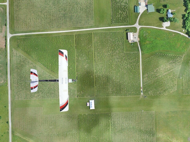
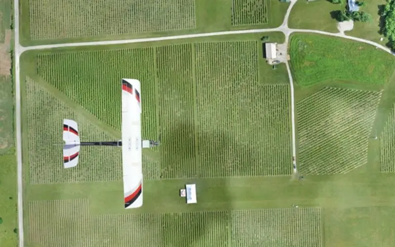
Credit: PrecisionHawk Inc.
Unmanned aerial vehicles are an emerging technology that will support precision agriculture, and Kansas State University’s expertise in building and protecting global food systems makes us a great fit for this kind of collaboration.
Under the project, a Kansas State University agronomy expert and researchers at K-State Salina are using their expertise to help PrecisionHawk create apps and programs that turn the aerial images of corn fields — and eventually other field crops — into useful data about a potential crop production issues, such as yield limiting factor, and characterization of yield potential, such as plant growth.
“Our newly formed partnership with PrecisionHawk really illustrates how targeted corporate-sponsored research can advance not only private sector interest, but also the university’s mission of research, education and outreach at the same time,” said Kent Glasscock, president of the Kansas State University Institute for Commercialization, which facilitated the research partnership. “Because of how well the partnership is tailored for these interests, it’s a real win-win for both Kansas State University and PrecisionHawk.”
The key challenge in developing such application is how we can translate those pictures into scientifically sound and useful information. This project could be useful to create tools that farmers and agronomists can use on these pictures to get information about a crop, such as its potential productivity, and then adjust their practices based on the tool’s results.
The resulting app from the Kansas State University-PrecisionHawk partnership will be able to connect information collected via imagery with support decision tools to estimate yield response to varied management practices with the final goal of predicting site-specific yield potential.
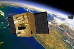
Kansas State University and PrecisionHawk are both members of the Federal Aviation Administration’s Center of Excellence for Unmanned Aircraft Systems.