ImageConnect to Add High Resolution Imagery by DigitalGlobe into ArcGIS Desktop Environment
DigitalGlobe in partnership with Esri has come up with a plug-in “ImageConnect” to enhance the GIS experience of ArcGIS platform user.
ArcGIS users can download the plugin from ArcGIS Online Tools and can simply integrate to ArcMap Desktop.
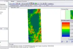
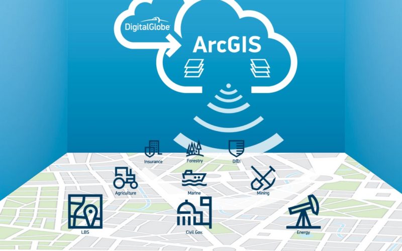
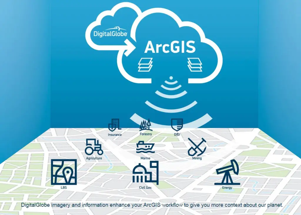
DigitalGlobe’s ImageConnect plug-in provide access to georeferenced current and historical DigitalGlobe Imagery and aerial photos to take full advantage of ArcGIS Software. These high resolution imagery could add many dimensions to your data from location based services applications planning and analysis to crisis management.
Credit: DigitalGlobe
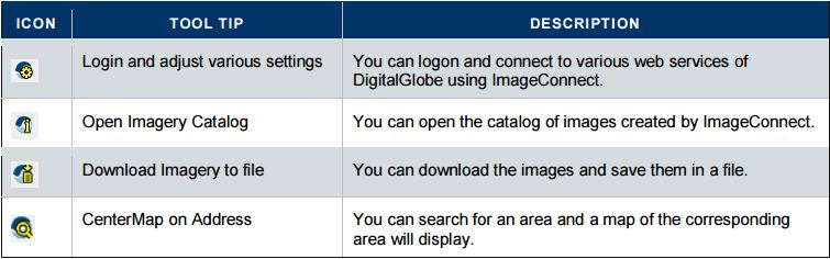
The user can eliminate the overhead of integrating different layers every time. ImageConnect embeds a simple, easy-to-use toolbar directly into the GIS workspace. With ImageConnect, you can connect directly to the DigitalGlobe Cloud Services through plug-ins for desktop mapping software ArcGIS 10.x or previous version.
Credit: DigitalGlobe
Retrieving images from ImageConnect alleviates exporting and manipulating from multiple image sources and allows you to look for new images directly from the GIS solution. You can automatically save the images for further use. ImageConnect will show the most recent data and you can check the library for other images which DigitalGlobe has taken over time
DigitalGlobe is also providing access to other data in ArcGIS online marketplace, user can use:
- Near real-time post-event imagery for disaster management and crisis response
- Global high resolution basemap
- And access to full resolution 8-band data to access information beyond the visible range pixels.
Download DigitalGlobe’s ImageConnect