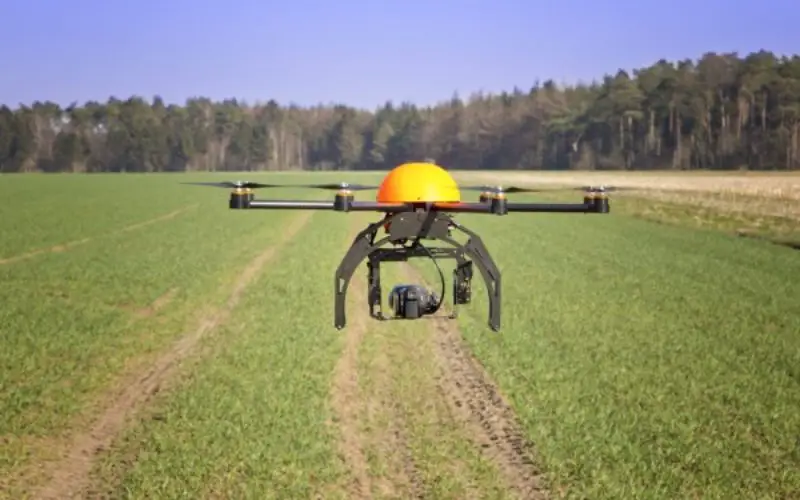
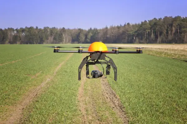
 During the Monsoon session of Indian Parliament, the Minister of State in the Ministry of Agriculture and Farmers Welfare, Shri Sudarshan Bhagat had informed the house that soon drone or UAV will be seen scouting over farm fields in India, gathering required geographical data using sensors, pictures, etc. and transmitting such information in real time.
Dr. P. Venugopal has raised the question “whether the Indian Council of Agricultural Research (ICAR) is developing drone based technologies in farming sector for assessing the quality of soil as well as crop losses after floods” and if so, the details thereof and the manner in which these drone based technologies are likely to be fruitful for the farming sector?
In answer to the question Shri Sudarshan Bhagat said:
The Indian Council of Agricultural Research (ICAR) through the Indian Agricultural Research Institute (IARI) has formulated a collaborative research project entitled “SENSAGRI: SENsor based Smart AGRIculture” involving six partner Institutes (Agriculture & IT) to be funded by Information Technology Research Academy (ITRA), Department of Electronics and Information Technology (DEITY), Ministry of Communication and Information Technology (MCIT), Govt. of India and ICAR. The major objective is to develop an indigenous prototype for drone-based crop and soil health monitoring system using hyperspectral remote sensing (HRS) sensors. This technology could also be integrated with satellite-based technologies for large scale applications.
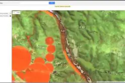
Drone technology based unmanned aerial vehicle (UAV) has an ability for smooth scouting over farm fields, gathering precise information and transmitting the data on real time basis. This capability could be used for the benefit of farming sector at regional/local scale for assessing land and crop health; extent, type, and severity of damage besides issuing forewarning, post-event management and settlement of compensation under crop insurance schemes.
According to a market research report published by Global Market Insights, the agricultural drones market size was valued over USD 135 million in 2015 and is anticipated to achieve over USD 555 million at a CAGR of 21% from 2016 to 2023. The potential benefits associated with these machines include improve yields and save water. In addition, drones may even assist the government to manage farming more effectively and efficiently by monitoring the usage of pesticides.