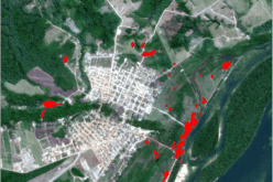
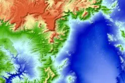
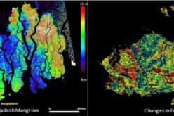
Image Courtesy: NASA Earth Observatory
The world has enters a new era of global weather observing and climate science on February 27, 2014, at 1:38 p.m. Eastern Standard Time.
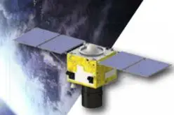
GPM, a joint mission between NASA and the Japan Aerospace Exploration Agency (JAXA). The observatory will link data from a constellation of current and planned satellites to produce next-generation global measurements of rainfall and snowfall from space.
The GPM mission is the first coordinated international satellite network to provide near real-time observations of rain and snow every three hours anywhere on the globe. The GPM Core Observatory anchors this network by providing observations on all types of precipitation. The observatory’s data acts as the measuring stick by which partner observations can be combined into a unified data set. The data will be used by scientists to study climate change, freshwater resources, floods and droughts, and hurricane formation and tracking.
The GPM Core Observatory, built by Goddard, will launch on an H-IIA rocket provided by JAXA. Mitsubishi Heavy Industries Ltd. is managing the launch.
The new satellite has two main sensors: the Global Precipitation Imager (GPI) and the Dual-Frequency Precipitation Radar (DPR). GMI is a microwave radiometer that will observe precipitation with 13 different microwave channels ranging in frequency from 10 GHz to 183 GHz. The DPR consists of a Ku-band precipitation radar (KuPR) and a Ka-band precipitation radar (KaPR) that will provide 3-D observations of rain and will also provide an accurate estimation of rainfall rate to the scientific community.
Together these two instruments should provide a database of measurements against which microwave observations made by a constellation of existing and future satellites can be meaningfully compared and combined to make a global precipitation data set. Collectively, GPM and its partner satellites will quantify when, where, and how much it rains and snows around the world.
Watch NASA GPM Rocket Launch