An Interactive Map Was Created by ASPR to Track the Zika Virus within the United States
Redlands, California—Florida is home to more than 3.6 million women aged 15 to 44 years. With more than 300 Zika virus cases reported in Florida to date, the state has become a top focus in the public health battle to curb the spread of Zika infections in the United States. Gathering and mapping such data—using GIS software from Esri—is part of the US Department of Health & Human Services (HHS) Office of the Assistant Secretary for Preparedness and Response (ASPR) effort to combat this growing health risk domestically and internationally.
The health impacts of the Zika virus are greatest on developing fetuses. Drawing on US Census data, Esri is showing experts at the ASPR and other agencies within HHS where best to target information and reach women of child-bearing age and their partners. To plan for the domestic assistance that states may need, ASPR also is using Esri software to monitor the spread of the Zika virus across the United States and in 34 other countries where infections have been found.
Using Esri software, ASPR created a publicly available interactive map that shows the number of cases in each state. The information is automatically updated each week.
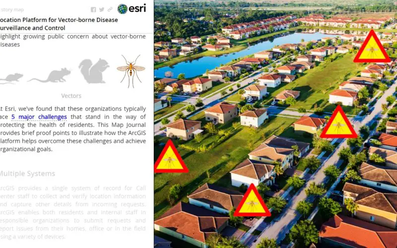
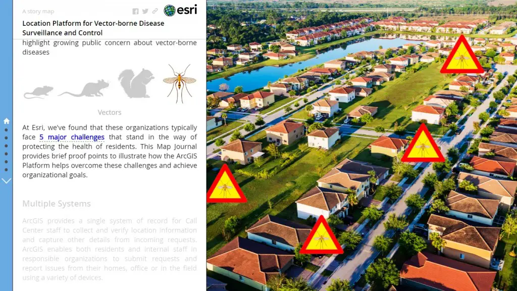
The Zika virus is spread to people primarily through the bites of infected Aedes aegypti mosquitoes; however, the virus has also been found to be transmitted sexually. The virus can cause Guillain-Barré syndrome in adults and children and can cause a serious birth defect called microcephaly.
“Prevention is the first course of action in protecting public health, but people need information to make decisions about what preventive actions to take,” said Este Geraghty, chief medical officer and health solutions director, Esri. “Using GIS technology to locate the most vulnerable populations is a first step in educating people on the risks of the Zika virus and about actions that can protect health and curb the spread of disease.”
For more information on Esri and using GIS for vector-borne disease surveillance and control, visitgo.esri.com/pr-zika.