Credit: Wikipedia
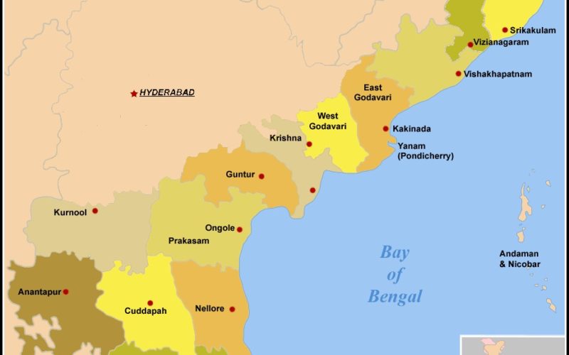
In recent news by The Indian Express, in his visit to Visakhapatnam post-Hudhud, Prime Minister Narendra Modi had suggested that the Andhra Pradesh State government use the latest technology to identify victims and ensure all help to them apart from preventing fraudsters in making false claims.
In response, Chief Minister N Chandrababu Naidu immediately sought the help of the NRSC to assist the government to spot the damage using geospatial technology and geo-tagging which would enable the government have complete data on damage caused by the cyclonic storm on the digital map.
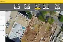
Soon more than 1,500 field assistants working under the National Rural Employment Guarantee Scheme were roped in for identifying affected families. They were trained in usage of a unique software developed for the purpose, and given tablets to carry out the work.
“We are already using this method for verification of construction of houses under various housing schemes. These photographs can be accessed by the officials to verify the claims made by the victims before issuing orders for payment of compensation,” the officials said.