Geospatial Corporation’s CEO Mark Smith to Present at the ENERGIS Conference Hosted by Range Resources, Pittsburgh PA
The conference addresses geospatial and GIS technologies and needs within the energy industry. Mark Smith will be presenting a case study with Mike Hopkins of Vantage Energy
 PITTSBURGH, PA–(Marketwired – September 08, 2014) – Geospatial Corporation’s CEO and founder, Mark Smith, will be presenting at the 2014 EnerGIS conference just outside Pittsburgh, PA on September 15-16, 2014. Geospatial Corporation (PINKSHEETS: GSPH) is a silver level sponsor of the annual event hosted by Range Resources. The conference addresses geospatial and Geographic Information Systems (GIS) technologies and needs within the energy industry.
Topics this year will focus on, among others: wind power, oil and gas field development, GIS mobility for natural gas utilities, web based GIS applications for electrical transmission systems, and cloud-based data management solutions.
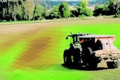
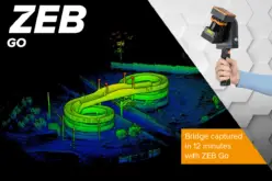
Smith will be presenting a case study with Mike Hopkins of Vantage Energy. Geospatial Corporation used advanced electromagnetic technologies to gather highly accurate (less than 10cm) X,Y and Z positional data on buried natural gas pipelines and allowed Vantage Energy to manage that data on GeoUnderground.
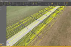
GeoUnderground, designed around Google Maps Engine and the Google Maps API, is Geospatial’s cloud-based GIS platform that provides clients with a total solution to their underground asset management needs.
About Geospatial Corporation
Geospatial Corporation utilizes integrated technologies to determine the accurate location and position of underground pipelines, conduits and other underground infrastructure data allowing Geospatial to create accurate (3D) three-dimensional digital maps and models of underground infrastructure. Our website is www.GeospatialCorporation.com. The Company manages this critical infrastructure data on its Cloud-Based GIS Portal called GeoUnderground, our proprietary GIS platform custom designed around the Google Maps API and Google Maps Engine. (www.GeoUnderground.com).
GeoUnderground is the company’s powerful Cloud-Based (GIS) geographic information system database that enables users to view and utilize this 3D pipeline mapping information securely from any desktop or mobile device. GeoUnderground seamlessly integrates with Geospatial’s technologies gathering underground, underwater or aboveground geo-referenced digital information of all types of infrastructure.
Licensed users, for the first time, have available to them a suite of technologies allowing them to collect data and create highly accurate 3D maps and models of both above-ground and below-ground infrastructure and view and share this invaluable information in a secure manner with their peers and associates anywhere in the world through a conventional browser via the Cloud.
Geospatial provides integrated data acquisition technologies that accurately locate and map underground and above ground infrastructure assets such as pipelines and surface features via its GeoUnderground Cloud-Based Portal.
Forward looking statements
This press release contains forward-looking information within the meaning of the Private Securities Litigation Reform Act of 1995, Section 27A of the Securities Act of 1993 and Section 21E of the Securities Exchange Act of 1934 and is subject to the safe harbor created by those laws. These forward-looking statements, if any, are based upon a number of assumptions and estimates that are subject to significant uncertainties that involve known and unknown risks, many of which are beyond our control and are not guarantees of future performance. Actual outcomes and results could materially differ from what is expressed, implied, or forecasted in any such forward-looking statements and any such difference may be caused by risk factors listed from time to time in the Company’s news releases and/or its filings or as a result of other factors.