
Free GIS Data – Land Cover and Land Use
Land Cover and Land Use Data
- USGS Land Cover Institute: Great set of links to almost all land cover datasets. Links here include most of the datasets below, and many more esoteric data such as river observations, aquifers data and ocean colour information.Although the page starts with US data, it continues with data for other continents lower down the page
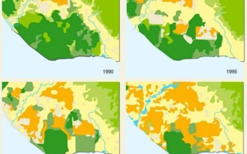
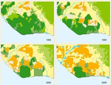
- Corine Land Cover Map: Europe only. Satellite derived land cover, available as at 1990, 2000 and 2006 in vector and raster formats. 100m and 250m resolutions.
- GLOBCOVER: Global land cover dataset at 300m resolution from the MERIS sensor on the ENVISAT satellite.
- MODIS Global Land Cover: 1km and 4km resolution global land cover maps derived from MODIS images.
- UMD GLC: 1km resolution global land cover maps from the University of Maryland created using a classification tree approach from MODIS data
- GLC2000: Global land cover map for the year 2000 created from the VEGETATION instrument on the SPOT-4 satellite. Individual continents were classified by local experts, increasing the quality of the classification overall.
- Global Land Cover by National Mapping Organisations: 1km data of land cover for the globe, with a classification scheme based on the UN FAO LCCS, facilitating easy comparison with other land cover products.
- Global Lakes and Wetlands Database: Global vector datasets showing areas of lakes, reservoirs, wetlands, swamps, bogs etc.
- Vegetation Map at Last Glacial Maximum: Broad-scale map of the world showing vegetation cover at the Last Glacial Maximum (25,000 – 15,000 BP)
- Grassland GIS: Grassland extent data, along with grassland usage (eg. livestock intensity per area of grassland)
- Forest GIS: Percentage tree-cover, population density and tree cover, share of wood in fuel consumption etc.
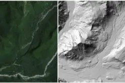
- PALSAR Forest/Non-Forest map: A very detailed (50m resolution) forest map for the whole globe, created from SAR data.
- Global Land Use Dataset: Gridded data at 0.5 degree resolution showing population density, potential natural vegetation, cropland extent, grazing land extent, built-up land extent, crop extent (for 18 major crops) and land suitability for cultivation.
- Human Influence and Footprint: Human Influence Index and Human Footprint calculated from various factors which exert human influence on ecosystems, for example population distribution, urban areas, navigable rivers etc. Available at 30 arc-second resolution.
- Global Agricultural Lands: Extent and intensity of use of agricultural lands (both cropland and pasture) in 2000 from MODIS and SPOT images and agricultural inventory data.
- Global Irrigated Area and Rainfed Crops Areas: Vector mapping of global irrigated cropland and rainfed cropland.
- Crop Calendar GIS: Gridded data on planting dates and harvesting dates across the world for 19 crops. Available at 5 minute and 0.5 degree resolutions.
- EarthStat: Agricultural Land Use and potential use: A number of GIS datasets on agricultural land use, including global cropland and pasture from 1700 to 2007, harvested areas and yields for 175 crops, and global fertiliser application rates.
- ESPON Urban Morphological Data: Data on urban areas for Europe including many attributes.
- European Urban Morphological Zones: Data derived from the CORINE landcover dataset showing all sets of urban areas lying less than 200m apart.


learing LULC