ESA– The first image from Sentinel-3A captures the transition from day to night over Svalbard, Norway, with detailed Arctic sea ice and some cloud features.
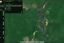
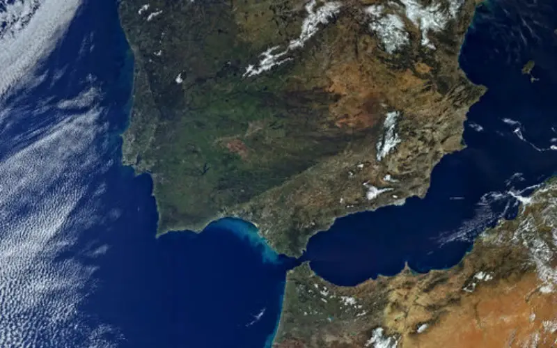
Just after two weeks after the satellite’s launch, the first images are already available, proving the highest capabilities of the Sentinel-3A instruments. Next captured images represent California, the USA with the recognizable city of Los Angeles and then Iberian Peninsula with Spain, Portugal, the Strait of Gibraltar and North Africa.
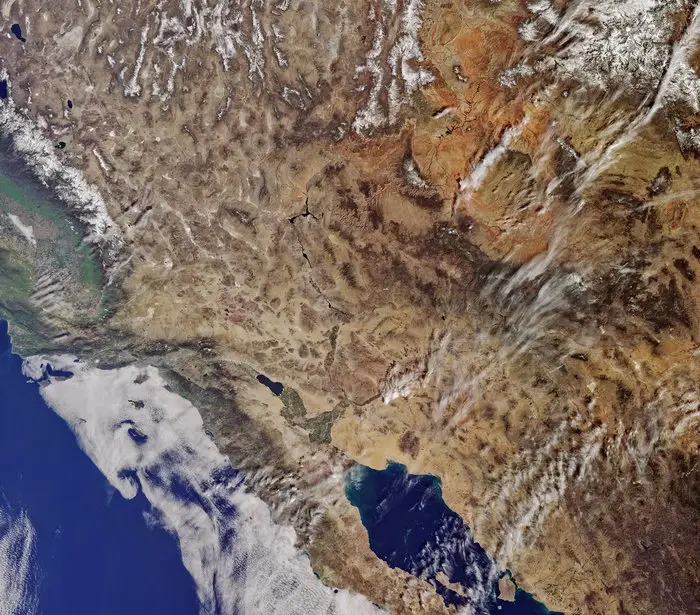
California from Sentinel-3A
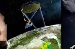
These images were captured by its ocean and land colour instrument, OLCI. With heritage from Envisat, this new instrument has 21 spectral bands, a resolution of 300 m and a swath width of 1270 km.
Offering new eyes on Earth, this improved instrument will allow ocean ecosystems to be monitored. It will also support vegetation, crop conditions and inland water monitoring as well as provide estimates of atmospheric aerosol and clouds – all of which bring significant benefits to society through more informed decision-making.
Volker Liebig, ESA’s Director of Earth Observation Programmes, said, “This first image already reveals the true versatility of Sentinel-3A.
“The mission will be at the heart of a wide range of applications, from measuring marine biological activity to providing information about the health of vegetation.
“Given its extensive payload, Sentinel-3A is a real workhorse that is set to make a step change in the variety of data products provided to users.”
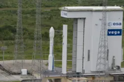
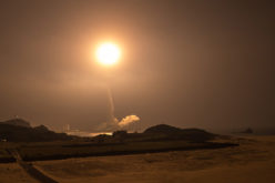
Carrying a suite of instruments working together, Sentinel-3A is arguably the most complex of all the Copernicus Sentinels. Once commissioned, it will systematically measure Earth’s oceans, land, ice and atmosphere to monitor large-scale global dynamics and provide critical near-realtime information for ocean and weather forecasting.
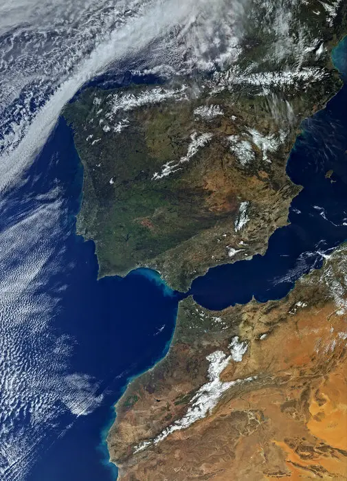
Iberian Peninsula
Philippe Brunet, Director of the European Commission’s Directorate-General for Internal Market, Industry, Entrepreneurship and Small- and Medium-sized Enterprises, said,
“The launch of Sentinel-3A further expands the fleet of dedicated missions for Copernicus services.
Once commissioned, ESA will hand over satellite operations to EUMETSAT. The mission will then be managed jointly, with ESA generating the land products and EUMETSAT the marine products for application through the Copernicus services.