Live Webinar: CAD Data In the Palm of Your Hand: Extend Bentley Microstation CAD Designs to Mobile Users with TerraGo Edge
August 4, 2015, 12:00PM – 12:30PM (ET)
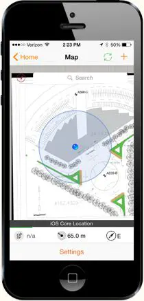 More and more CAD users are looking to TerraGo Edge to deliver CAD designs to their mobile users for field data collection. As part of a monthly webinar series, TerraGo will highlight a specific CAD Platform and just how easy it is to get CAD PDF maps in the hands of mobile users with TerraGo Edge.
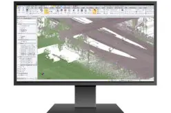
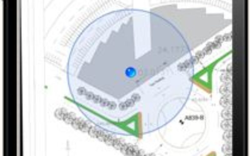
In this session, we will demo Bentley® Microstation® CAD PDFs. Now your field workers can access CAD drawings as basemaps to collect field data at CM-level accuracy, and collaborate with other crew members and HQ in real-time.
JOIN WEBINAR NOW
About TerraGo
TerraGo makes software that makes it easy for our customers to collect data, share information and work together anywhere, any time. From sharing feature-rich maps and imagery to deploying on-demand apps for a mobile workforce, TerraGo builds intuitive products that enable collaboration from any place on the planet.
Founded in 2005, TerraGo invented the industry’s most widely adopted geospatial collaboration technology with its innovative GeoPDF products and revolutionized field data collection with its TerraGo Edge mobile platform.