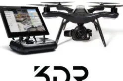
 Conservationists are being called on to do more with less. In the face of climate change, widespread pollution, and urbanization, conservation has become paramount to the health and well-being of the world. However, protecting natural habitats and resources requires significant time and resources, often exceeding the normal operating budgets of many conservation groups. Esri’s Drone2Map for ArcGIS enables conservationists to take control of their imagery by producing high-quality 2D and 3D assessments of their land. These low-cost solutions allow organizations to quickly collect imagery, reducing the time and production cost of each assessment.
Attend this webinar to learn how Drone2Map for ArcGIS can be used to
- Build 3D mapping products to better understand and visualize places that need protection.
- Conduct baseline inventories, assess habitats and develop conservation plans.
- Collect elevation data for watershed mapping and biomass estimates.
Register Now
Source: Esri News Letter


