June 30, 2017 – Geographers’ A-Z Map Company is excited to announce a partnership with Airbox Systems. This partnership will see the inclusion of our map data into world’s leading mission visualization platforms (ACANS and MOSIAC) for emergency services, law enforcement, and military for use across land, sea, and air.
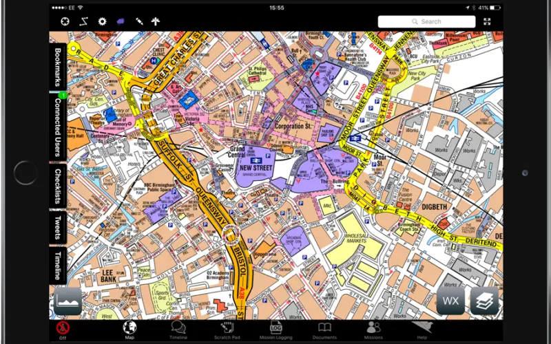
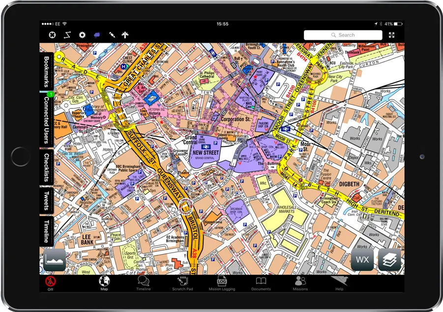
Geographers’ A-Z Map Company is providing map data as a base map option for Airbox Systems software including MOSAIC: For Ground Operations.

Designed for frontline and field-based professionals working with or without central co-ordination, the software provides a Common Operating Picture for teams conducting safer, more efficient and accurate operations and tasks. A-Z maps provide an offline, readable and clear mapping solution to ensure location and gazetteer information can be rapidly and accurately communicated between users.
MOSAIC is a mobile operational support application for tablets, smartphones and wearable technology. Find out more on the website: Airbox MOSAIC or contact A-Z Maps.
About A-Z
With over 80 years of experience, Geographers’ A-Z Map Co Ltd is the largest independent map publisher in the UK. Street is the iconic, clear and readable dataset by A-Z Maps and now covers all of England.
About Airbox
Airbox Systems design and develop the world’s leading mission visualization platforms for emergency services, law enforcement, and military for use across land, sea and air.